Whitewashed cottages, hidden coves and one of the most up-and-down stretches of the North Cornwall coast – a short walk that feels much bigger.
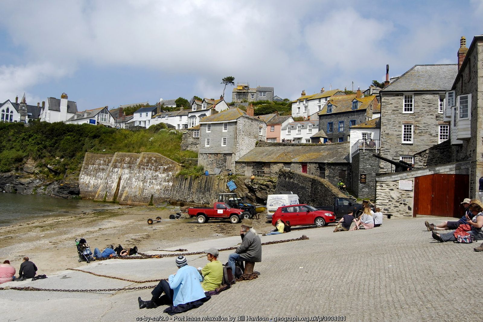
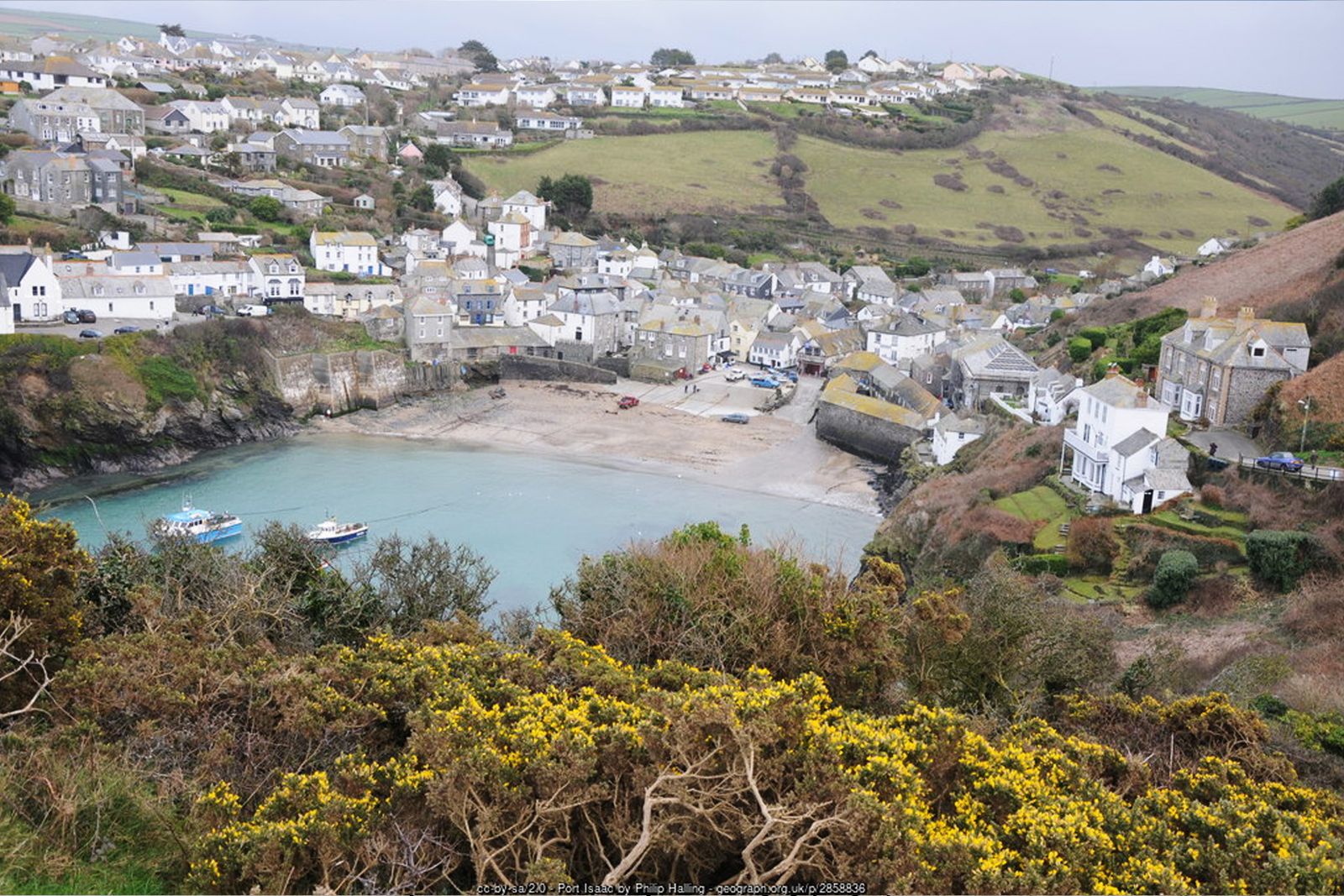
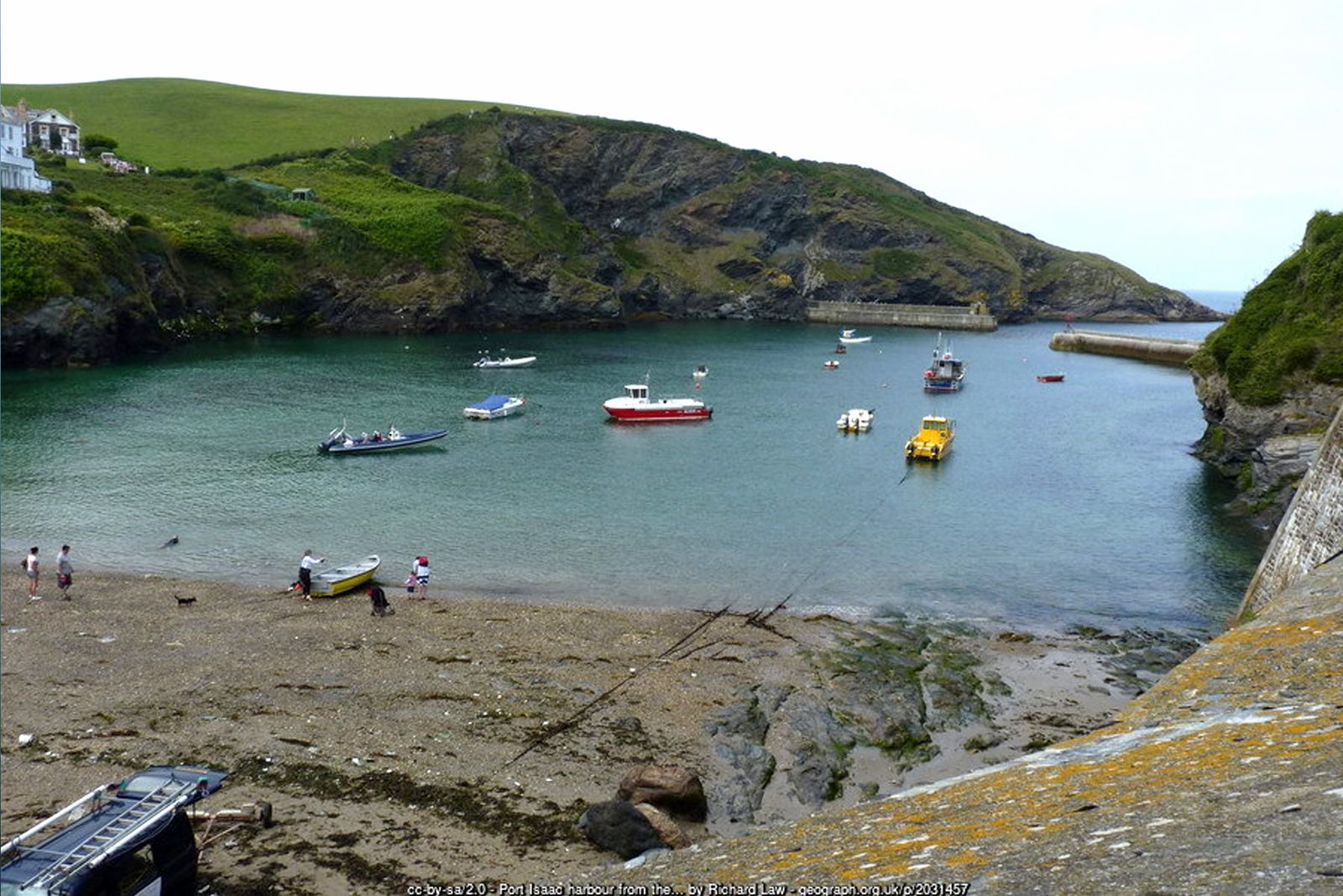
Port Isaac is one of the best-loved fishing villages in Cornwall – a tight huddle of slate-hung and whitewashed cottages around a working harbour, familiar to millions as “Portwenn” in the ITV series Doc Martin. Just along the coast to the west, the tiny inlet of Port Quin is almost deserted, its handful of cottages now largely cared for by the National Trust.
The coast path between the two is only about three miles, but it climbs in and out of a string of little coves and headlands – Lobber Point, Pine Haven, Varley Head and Kellan Head – making it one of the most energetic short walks in the county. The return is gentler, across farmland past Roscarrock.
Walk at a glance
- Distance
- About 5 miles (allow 2½–3 hrs)
- Grade
- Strenuous – many short, very steep climbs and descents with steps
- Map
- OS Explorer 106 – Newquay & Padstow
- Start
- New Road car park, Port Isaac PL29 3SB
- Terrain
- Narrow clifftop coast path with steps, fields with stone stiles, farm tracks and village streets
Parking
Cornwall Council pay and display car park on New Road at the top of Port Isaac (PL29 3SB), on the coast path. A larger main car park on the edge of the village has designated disabled bays. The streets in the lower village are very narrow – do not try to drive down to the harbour. Port Quin has only a small National Trust car park.
Facilities
Pubs, cafés and shops in Port Isaac, including the Golden Lion on Fore Street. There are no toilets or refreshments at Port Quin, and mobile phone signal there is poor.
Disabled access
This walk is not suitable for wheelchairs or anyone with limited mobility – the coast path is a constant series of steep steps and climbs close to unfenced cliff edges, and the return crosses several stone stiles. Port Isaac itself is very steep, with narrow streets down to the harbour; the car parks are at the top of the village. At Port Quin the National Trust car park is right beside the cove, so the view of the inlet and Doyden Castle can be enjoyed with very little walking.
Places to stay
The route
Down through Port Isaac
From the New Road car park follow the road (the line of the coast path) down into the village and through the narrow streets of Fore Street to the harbour. On the far side of the harbour, climb Roscarrock Hill, passing the cottage famous as Doc Martin’s surgery, and follow the acorn signs onto the open cliff.
Lobber Point and Pine Haven
The path rounds Lobber Point with fine views back over the harbour, then drops into the small wooded valley of Pine Haven – lovely with bluebells in spring – before climbing steeply again.
Varley Head and Kellan Head
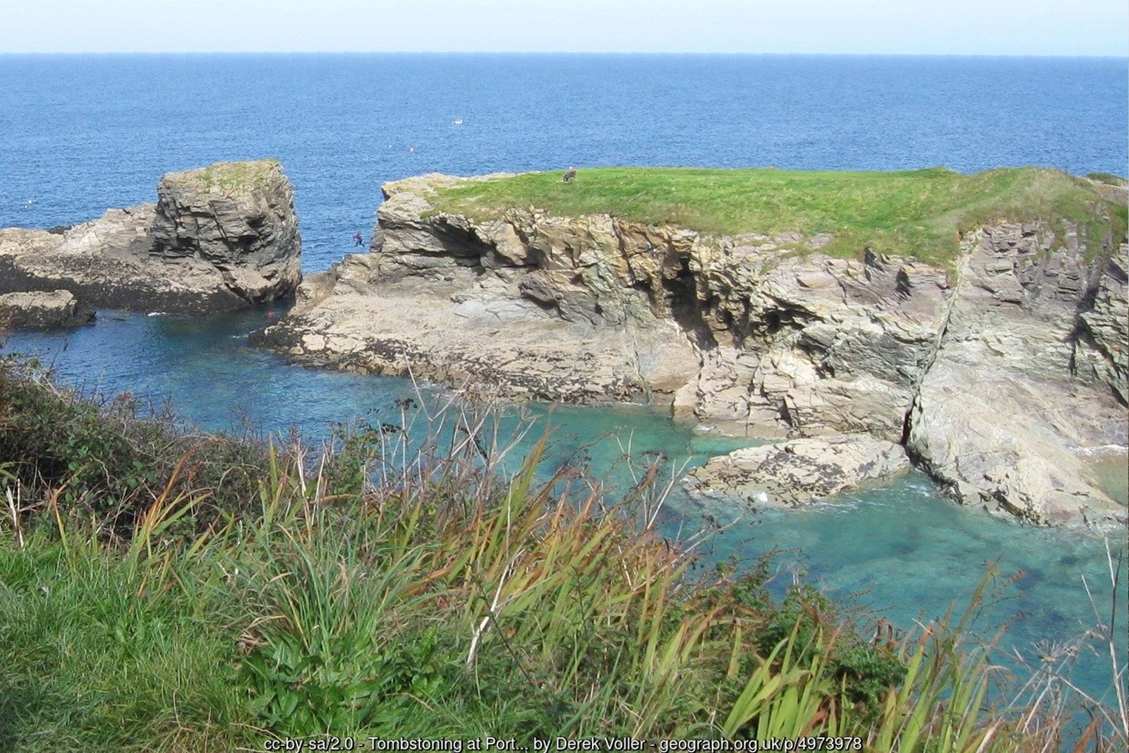
The next stretch is a true switchback, dipping into little coves and climbing over Varley Head and on to Kellan Head, with views across Port Quin Bay to The Rumps and Pentire Point. Take care on the steep, narrow sections close to the cliff edge.
Port Quin
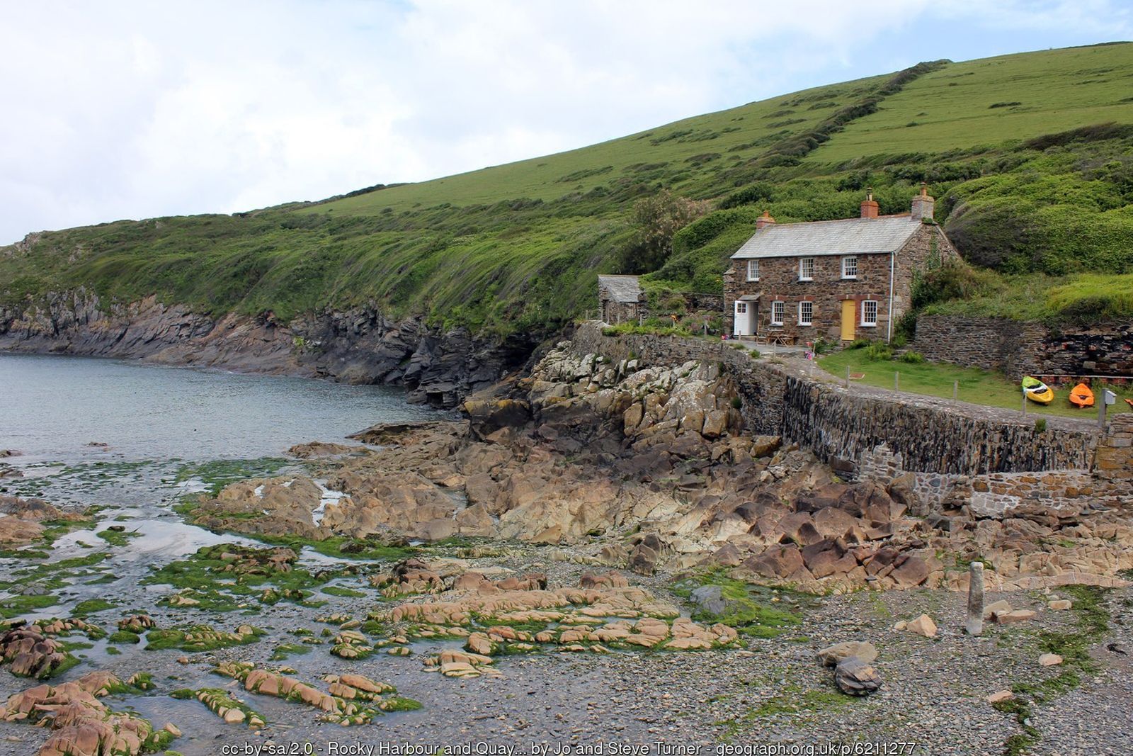
Descend into Port Quin, a sheltered inlet with a slipway and a few old fish cellars and cottages. Local legend says the men of the village were all lost at sea in a single storm, leaving it abandoned. For the best view, walk out along the west side of the inlet to Doyden Point and Doyden Castle, a small folly built around 1827 and now a National Trust holiday cottage.
Inland past Roscarrock
From Port Quin take the signed public footpath heading east, climbing away from the cove across fields. The path passes close to the old farmstead of Roscarrock and continues across a series of fields, with several stone stiles, before meeting a lane near the top of Port Isaac.
Back to the start
Follow the lane down to Roscarrock Hill, then back through the village to the harbour and up to the car park – or finish with a well-earned stop in one of Port Isaac’s pubs and cafés.
All information is given in good faith and for guidance only. Always carry the OS map and check the South West Coast Path website for diversions.
Highlights along the way
Port Isaac harbour
A working fishing harbour with narrow “opes”, old fish cellars and slate-hung cottages.
Pine Haven
A tiny wooded valley and cove on the coast path, full of bluebells in spring.
Port Quin
A remote, almost deserted inlet cared for by the National Trust, with a legend of lost fishermen.
Doyden Castle
A little castellated folly on the headland above Port Quin, built around 1827.
Nearby
Beaches
Places to visit
Towns & villages
Photos
Where the walk starts
The marker shows the start of the walk.
Before you set out
Carry the OS map – paths and signs can change and mobile signal is patchy.
Check the weather and tide times before you set out.
Keep to the path and well back from cliff edges.
Keep dogs under close control near livestock and cliffs.