
Towering cliffs, deep combes and the driftwood hut of Cornwall’s most eccentric parson – a tough but unforgettable circuit on the county’s remote northern edge.
Morwenstow is Cornwall’s most northerly parish – a scatter of farms and hamlets on high ground above some of the wildest cliffs in the county. Its church, dedicated to St Morwenna and St John the Baptist, stands in a sheltered combe just inland from the sea, and was for over forty years the parish of the Reverend Robert Stephen Hawker, poet, eccentric and the man credited with creating the modern harvest festival service in the 1840s.
This circuit visits the little driftwood hut Hawker built on the cliff edge, then follows the South West Coast Path south over a succession of headlands and deep valleys – Higher and Lower Sharpnose Points, Stanbury Mouth and Steeple Point – to the pebbly cove at Duckpool. The return heads inland up the wooded Coombe valley and back north across farmland and quiet lanes. It is one of the most demanding stretches of the whole coast path, so allow plenty of time.
Walk at a glance
- Distance
- About 8 miles (allow 3½–4 hrs)
Total ascent roughly 1,870 ft (570 m) - Grade
- Strenuous – a switchback coast path with several very steep descents and climbs
- Map
- OS Explorer 126 – Clovelly & Hartland
- Start
- Morwenstow church / Rectory Farm, Crosstown, Morwenstow EX23 9SR
- Terrain
- Unfenced clifftop coast path with steps, wooded valleys, field paths with stiles and quiet lanes – very muddy after rain
Parking
Small informal car park beside Morwenstow church and Rectory Farm (National Trust area, donations welcome, no overnight parking). Limited spaces – arrive early in summer. There is also a small National Trust car park at Duckpool if you prefer to start the circuit from the south.
Facilities
Rectory Farm Tearooms by the church and the Bush Inn at Crosstown, a few minutes’ walk away – both are seasonal, so check opening times before you travel. Seasonal toilets (April to October) at the National Trust car park at Duckpool, roughly halfway round. There are no shops on the route, so carry water and food.
Disabled access
This walk is not suitable for wheelchairs, pushchairs or anyone with limited mobility: the coast path drops steeply to sea level at several points, with steps, stiles, unfenced cliff edges and paths that are often muddy. Hawker’s Hut itself is reached down a short flight of steps set into the cliff. Morwenstow church and the tearooms are close to the parking area, and the National Trust car park at Duckpool (which has a RADAR-key accessible toilet in season) gives views of the beach and Coombe valley with little walking.
Places to stay
The route
Church to the coast
From the parking area go through the lychgate into the churchyard, where a replica of the figurehead of the Caledonia, wrecked here in 1842, marks the graves of her crew (the conserved original is inside the church). Follow the signed path from the churchyard towards the coast, down through a small wooded valley and up onto the open clifftop at Vicarage Cliff, where you join the South West Coast Path.
Hawker’s Hut
Turn left (south) on the coast path. A short way along, a signed side path leads down a few slate steps to Hawker’s Hut, built into the cliff from ship’s timbers and driftwood. Hawker spent hours here writing poetry and watching the sea; it is now the National Trust’s smallest property. Take care – the hut is right on the cliff edge.
Tidna Shute and Higher Sharpnose Point
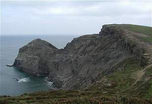
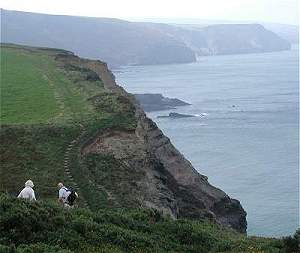
Return to the coast path and continue south. The path drops steeply into the valley of Tidna Shute and climbs out again to Higher Sharpnose Point, with a small lookout hut and views back along the cliffs towards Hartland. The cliffs here are unstable in places – always follow any diversion signs.
Lower Sharpnose and Stanbury Mouth
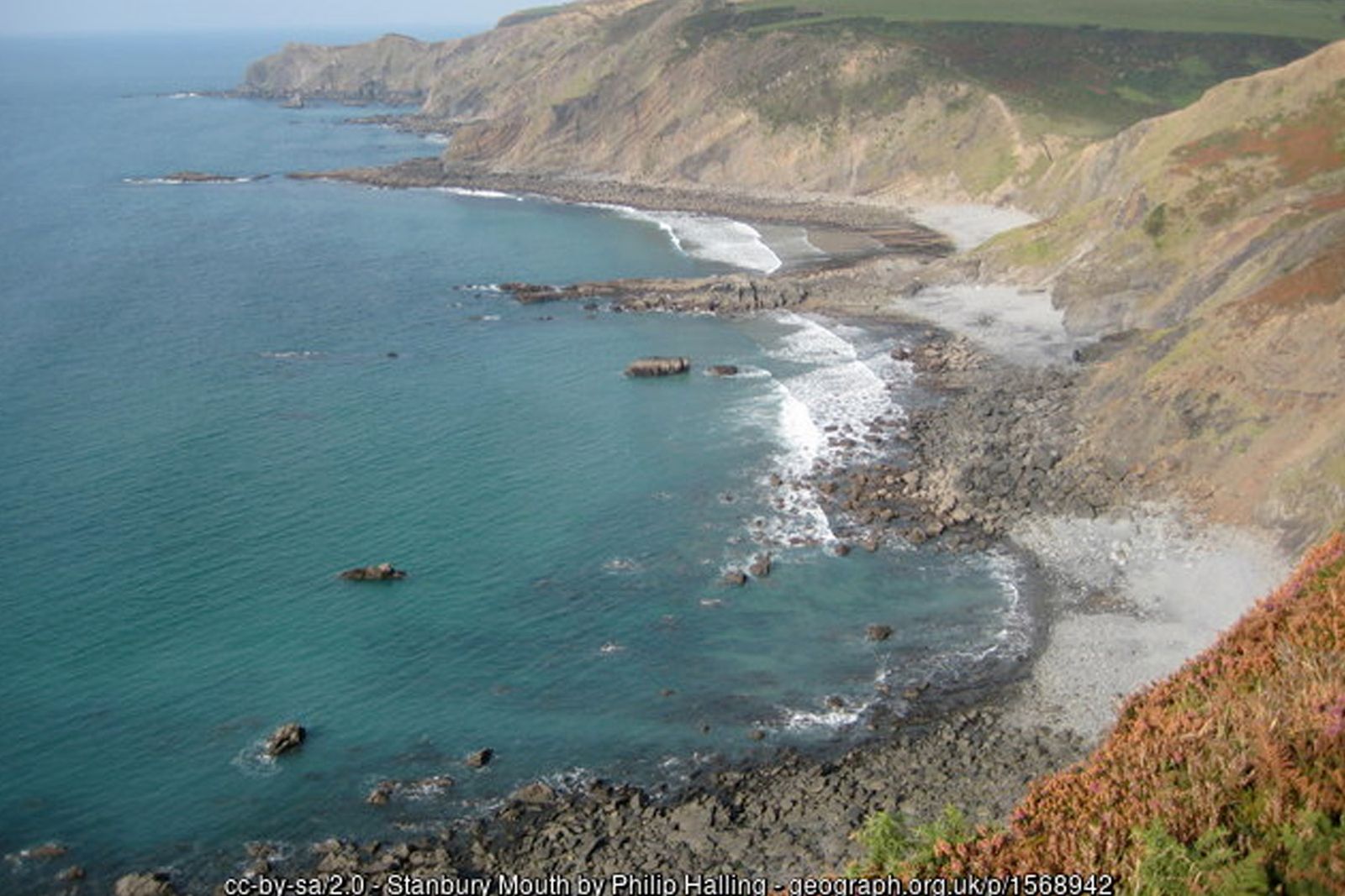
Carry on past the huge satellite dishes of the GCHQ station on the cliffs above Lower Sharpnose Point, where fins of hard rock jut out into the sea. The path then plunges down to Stanbury Mouth, a remote beach that is sandy at low tide, before a long, very steep climb up the far side.
Steeple Point to Duckpool
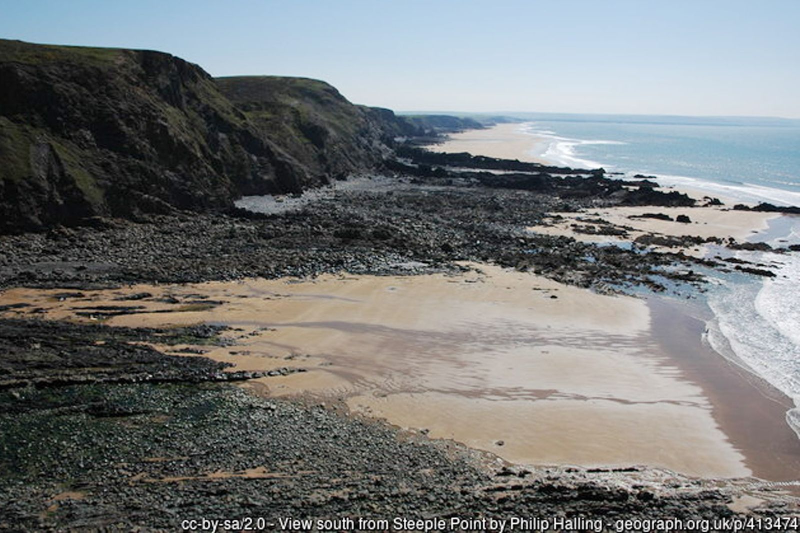
Continue along the clifftop over Steeple Point and descend into the Coombe valley at Duckpool, a pebbly cove with sand at low tide. The National Trust car park here has seasonal toilets and is a good place for a break. Do not attempt to walk round the headlands on the beach – the tide cuts them off.
Inland through Coombe and Woodford
Leave the coast and follow the lane inland beside the river to the little hamlet of Coombe. From here take the signed footpaths north, climbing through broadleaf woodland – carpeted with wild garlic and bluebells in spring – to the hamlet of Woodford.
Back across the farmland to Morwenstow
From Woodford follow the waymarked field paths and quiet lanes north past Eastaway and Stanbury towards Tonacombe, crossing a number of stiles along the way. Drop into the upper Tidna valley and climb out on the path towards Crosstown, passing close to the Bush Inn, then follow the lane back down to Morwenstow church and the tearooms. An OS map (Explorer 126) is strongly recommended for this inland section, as there are many junctions.
All information is given in good faith and for guidance only. Always carry the OS map and check the South West Coast Path website for diversions.
Highlights along the way
Hawker’s Hut
A tiny driftwood shelter on the cliff edge where the Reverend R.S. Hawker wrote his poetry – the National Trust’s smallest building.
Morwenstow church
An ancient church in a sheltered combe, with a Norman font and the figurehead of the wrecked Caledonia.
Stanbury Mouth & Duckpool
Two remote coves at the foot of deep valleys, with sand at low tide and dramatic reefs of folded rock.
Coombe valley
A wooded valley of ancient oaks, streams and wildflowers leading inland from Duckpool.
Nearby
Places to visit
Towns & villages
Photos
Where the walk starts
The marker shows the start of the walk.
Before you set out
Carry the OS map – paths and signs can change and mobile signal is patchy.
Check the weather and tide times before you set out.
Keep to the path and well back from cliff edges.
Keep dogs under close control near livestock and cliffs.