St Austell Bay Beaches
Eight Beaches Around Cornwall's China-Clay Coast, from a Fishing Cove to a Georgian Film-Set Harbour
St Austell Bay curves along Cornwall's south coast between Gribbin Head, near Fowey, and Black Head, near Mevagissey - a stretch shaped as much by industry as by nature. This guide covers eight of its beaches, running west to east: Polkerris, a small, sheltered fishing cove once home to its own lifeboat station; Par Sands, a broad sandy beach at a china-clay river mouth, a stone's throw from the Eden Project; Carlyon Bay, three linked beaches of pale "stent" sand backed by a long-running seafront redevelopment; Charlestown, a beautifully preserved Georgian harbour and one of Britain's best-loved film locations; the quiet, little-known coves of Duporth and Porthpean; the remote, walk-in-only pair of Hallane and Polgwyn beaches below the A. L. Rowse memorial at Black Head; and Pentewan, a historic harbour village whose old china-clay railway is now a level cycling and walking trail to the Lost Gardens of Heligan.
This stretch of coast is often marketed as the "Cornish Riviera", and its story is inseparable from Cornwall's china clay industry - several of these beaches, and the harbours that built them, owe their existence directly to the export of "white gold" from the pits inland. Several beaches here have no accommodation listings of their own and honestly point to the nearest genuine hub - Polkerris to Par, Carlyon Bay, Duporth and Porthpean to St Austell, and Hallane & Polgwyn to Pentewan.
Every page in this folder has a full visitor guide to its beach - parking, facilities, disabled access information, a precise map, nearby things to do and places to stay - researched and kept up to date.
At a Glance
- St Austell Bay, South Cornwall, from Gribbin Head to Black Head
- 8 beaches: a fishing cove, china-clay sands, a Georgian harbour and two remote walk-in coves
- Charlestown's tall ships have featured in Poldark, Hornblower and Mansfield Park
- The Pentewan Valley Trail follows an old china-clay railway to the Lost Gardens of Heligan
Symbols key
- Parking
- Toilets
- Refreshments
- Lifeguard in season
- Wheelchair accessible
- Dogs allowed
- Dogs restricted or not allowed
The Beaches of St Austell Bay
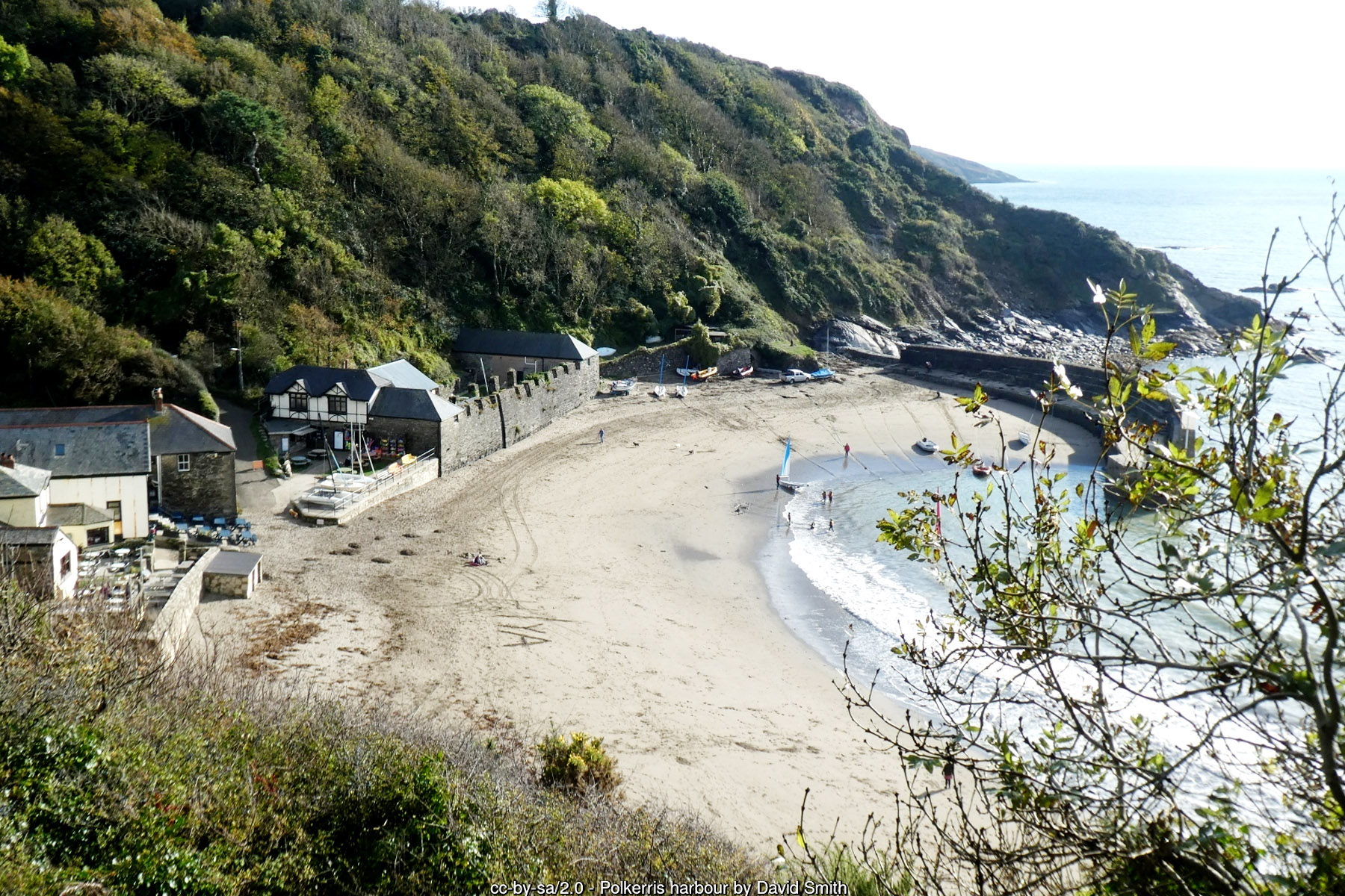
Polkerris
A sheltered fishing cove once home to its own RNLI lifeboat.
- Car park
- Refreshments
- Seasonal dog restriction
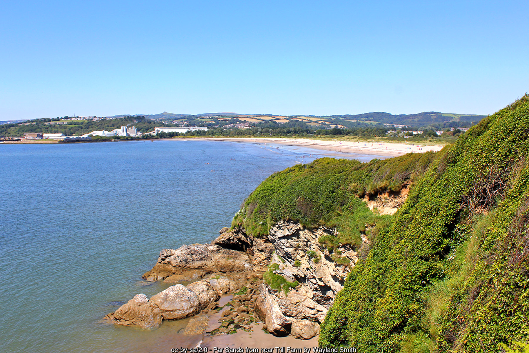
Par Sands
Broad family sands at a river mouth, near the Eden Project.
- Car park
- Toilets
- Refreshments
- Seasonal dog restriction
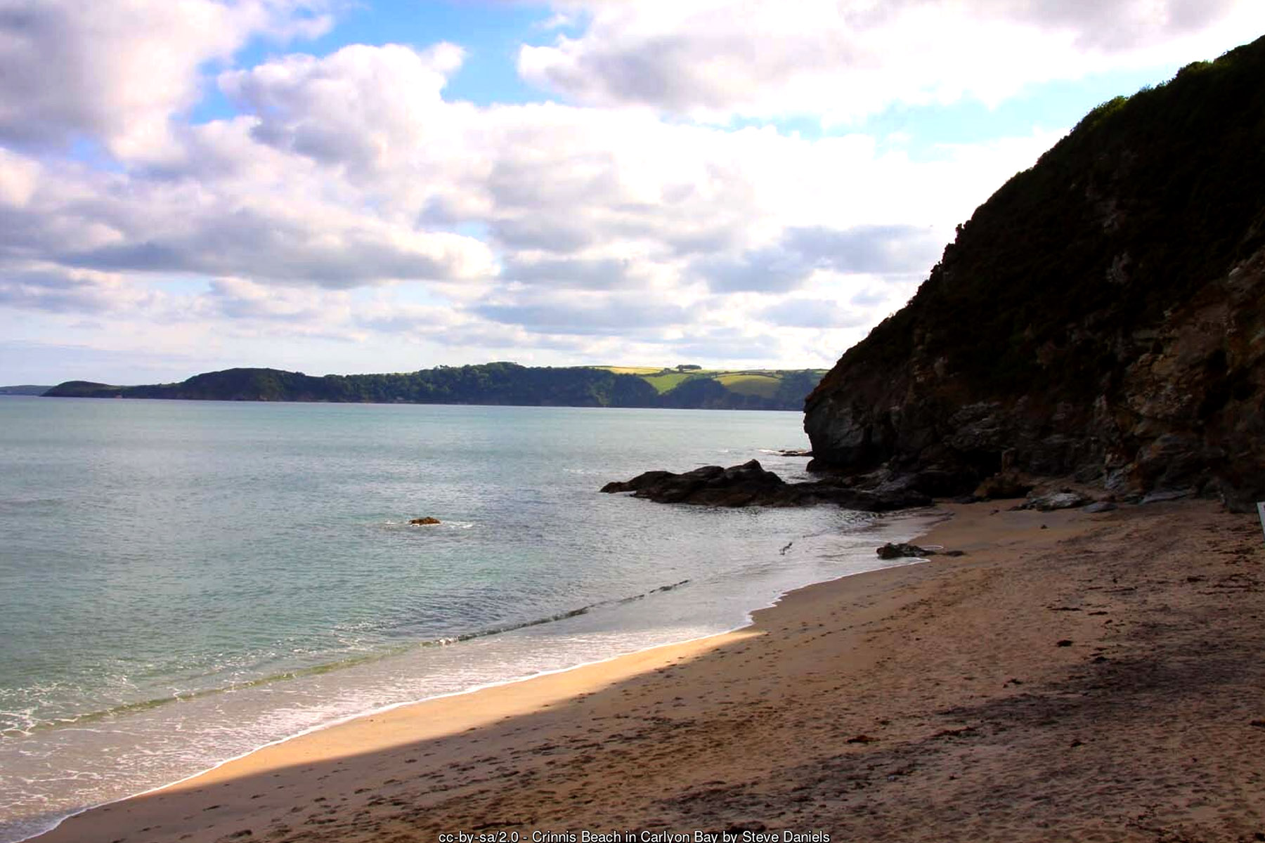
Carlyon Bay
Three linked beaches of pale china-clay sand.
- Car park
- Toilets
- Refreshments
- Seasonal dog restriction
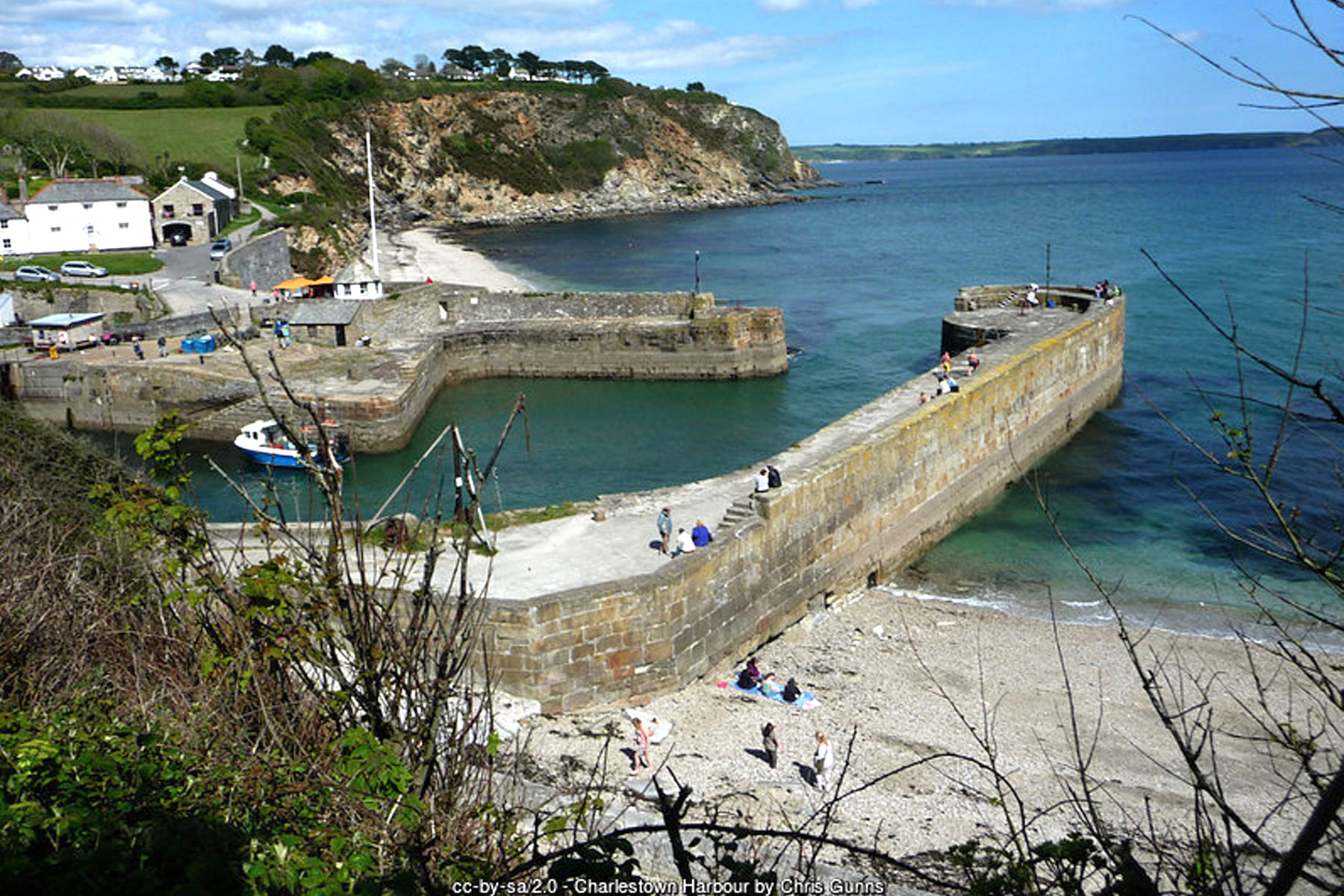
Charlestown
A perfectly preserved Georgian harbour and film-set village.
- Car park
- Refreshments
- Seasonal dog restriction
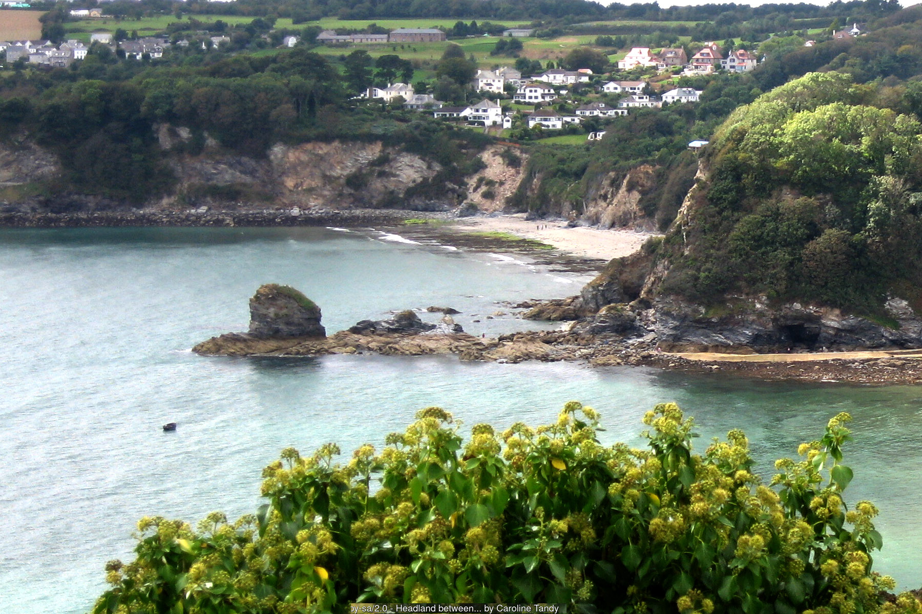
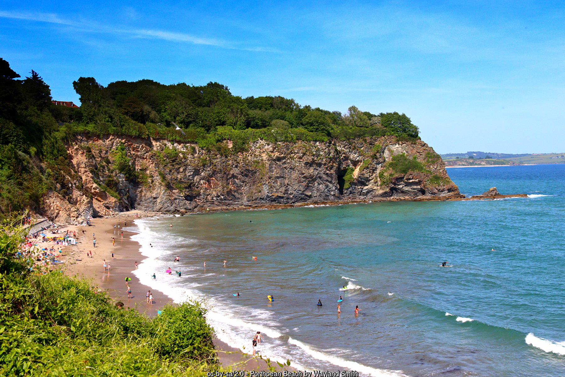
Porthpean
A family and sailing beach near the A. L. Rowse memorial.
- Car park
- Toilets
- Refreshments
- Wheelchair accessible
- Dogs allowed
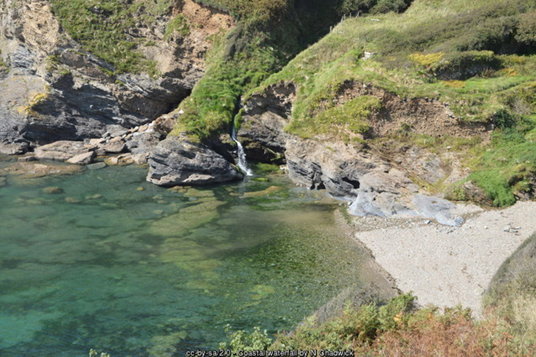
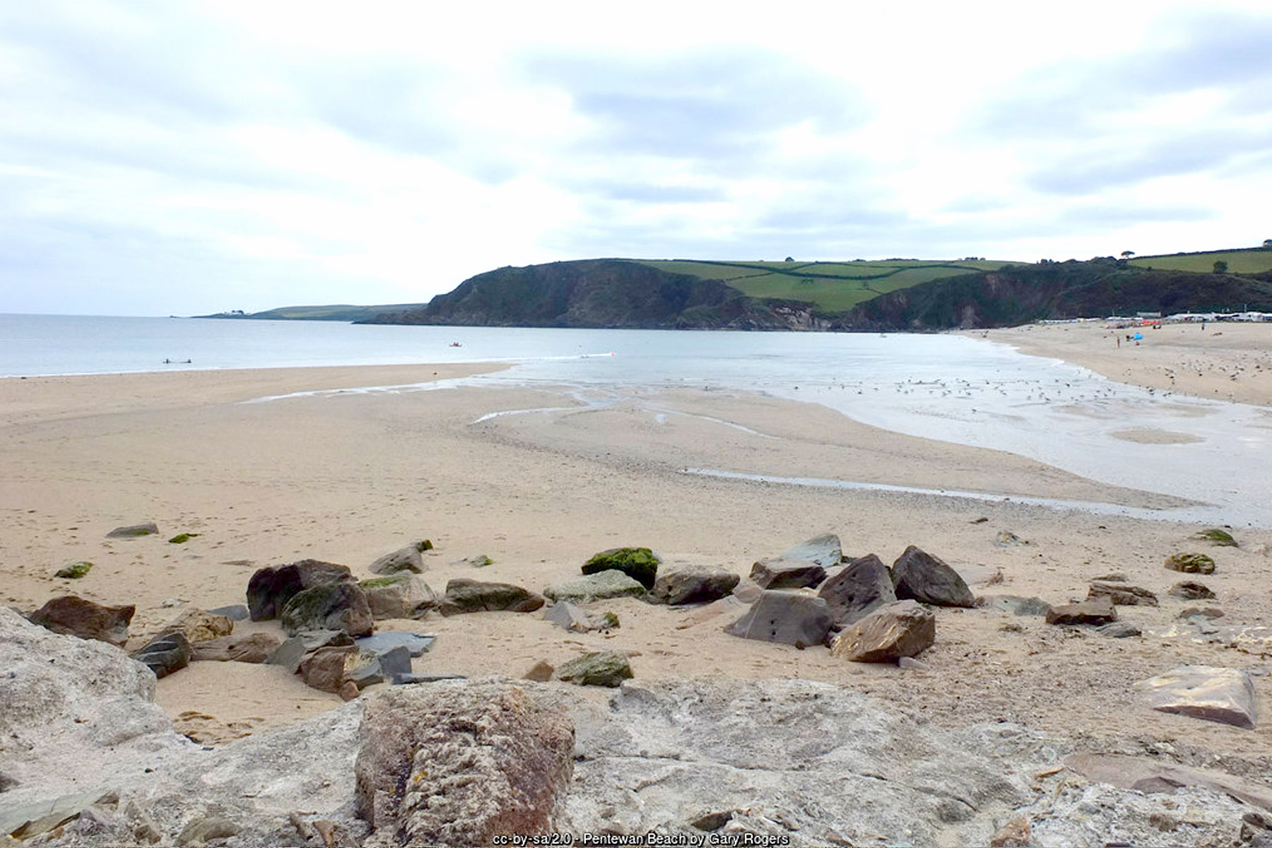
Pentewan
A historic harbour village and gateway to the Lost Gardens of Heligan.
- Car park
- Toilets
- Refreshments
- Seasonal dog restriction
Visitor Information
Parking
Par Sands, Carlyon Bay, Charlestown, Porthpean and Pentewan all have dedicated pay car parks close to the beach; Polkerris, Duporth and Hallane & Polgwyn have little or no dedicated parking, with the latter reached on foot only. See each beach's own page for full details.
Facilities
Charlestown, Par Sands, Carlyon Bay, Porthpean and Pentewan all have cafés, shops or toilets nearby; Polkerris has the beachside Rashleigh Inn; Duporth and Hallane & Polgwyn have no facilities of any kind. None of the eight has a permanent RNLI lifeguard patrol. See each beach's own page for full details.
Disabled Access
Pentewan and Par Sands offer the easiest, most level access. Charlestown, Carlyon Bay and Porthpean involve some steps or slopes; Polkerris, Duporth and Hallane & Polgwyn all involve paths unsuited to wheelchairs or limited mobility. See each beach's own page for full details.
Places to Stay Around St Austell Bay
Page last updated: 17 September 2026