A charming harbour village, medieval churches, rugged cliffs and leafy valleys – one of the finest short circuits on the North Cornwall coast.
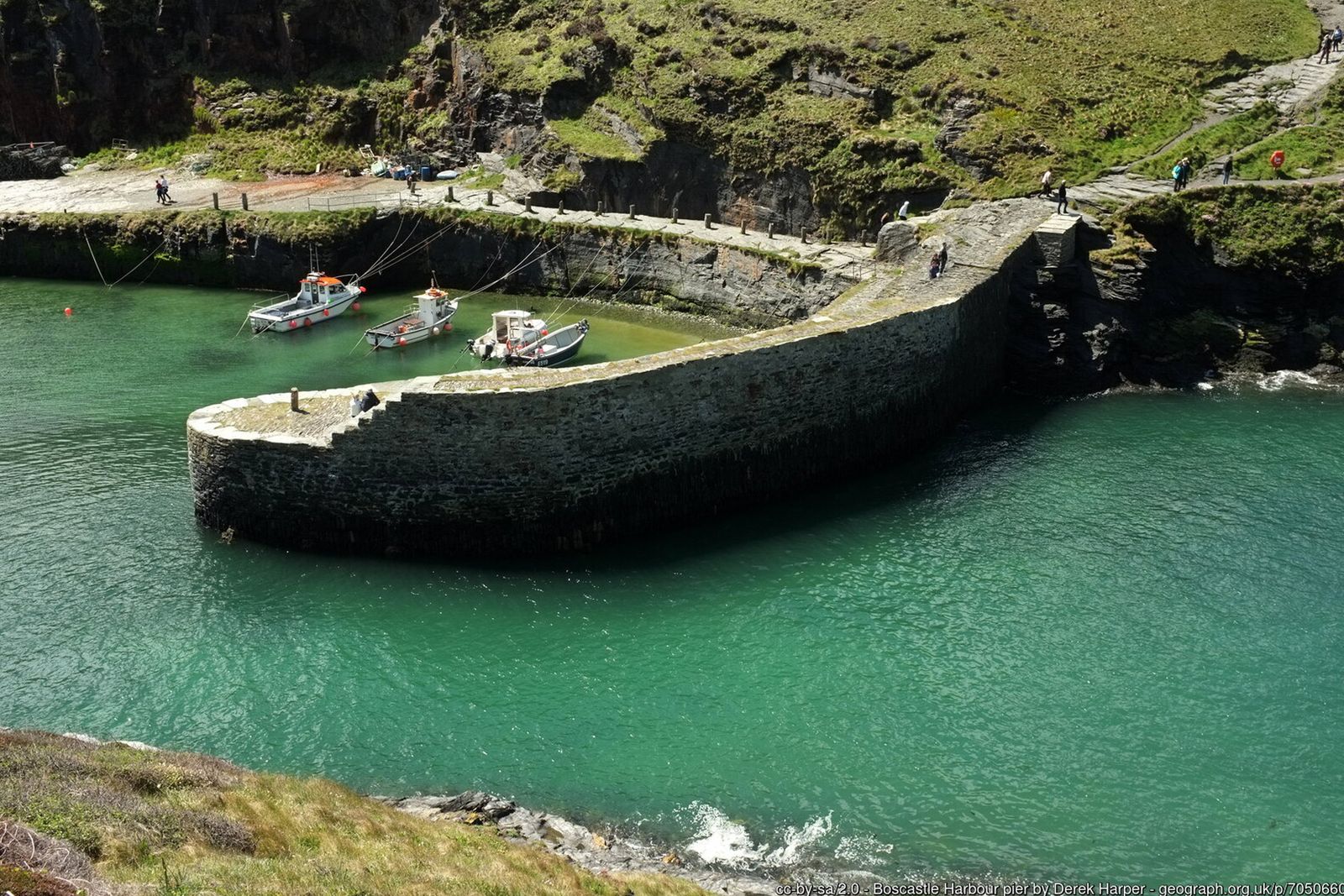
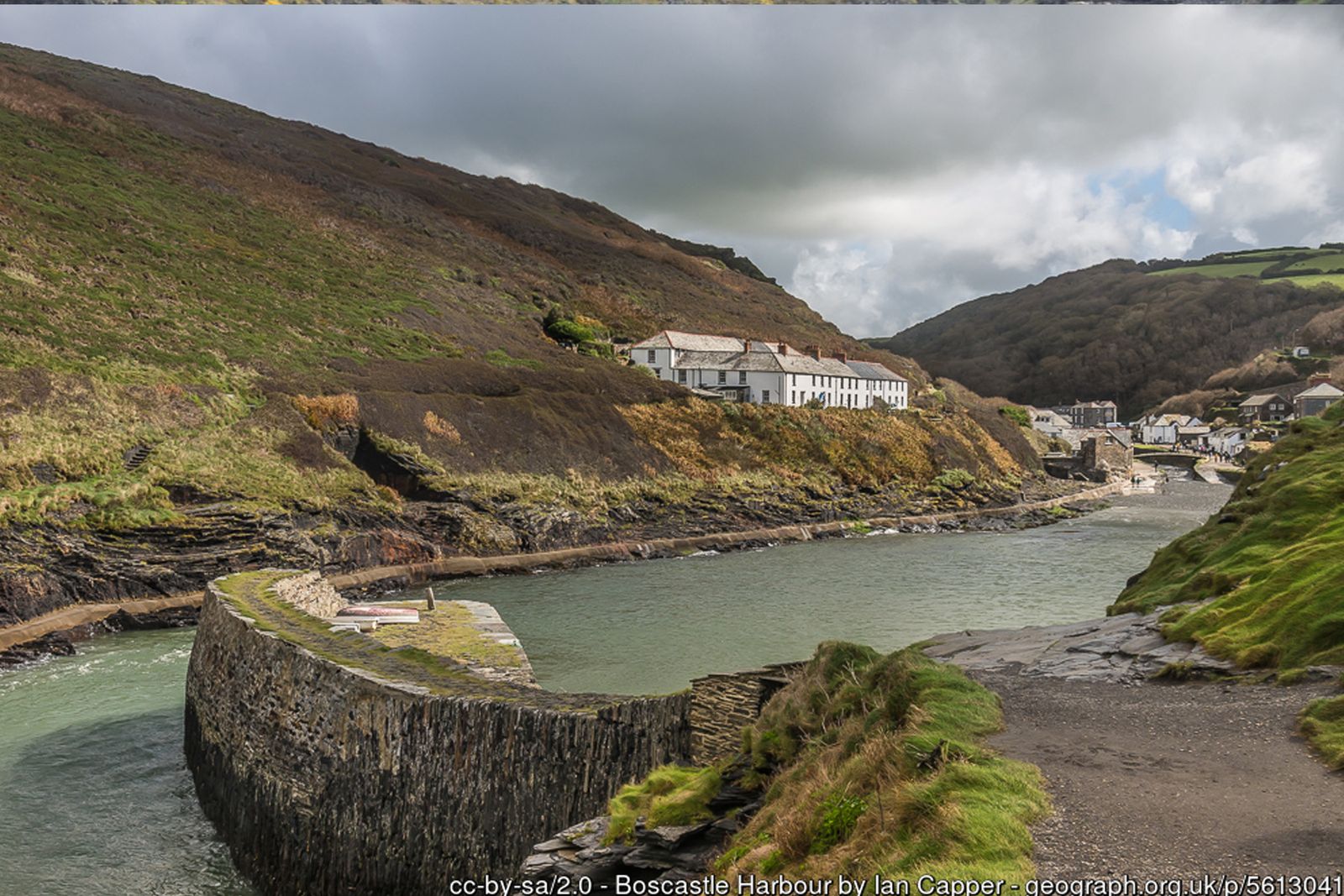
Boscastle is one of the prettiest harbours in Cornwall – a narrow natural inlet guarded by high cliffs, with the little island of Meachard at its mouth. This circular walk climbs out of the harbour onto the South West Coast Path, heads south along the cliffs towards Trevalga, then returns inland past ancient churches and through the village.
For a longer day, continue along the coast to the wooded ravine of Rocky Valley, or add the loop to Minster Church and back through the Valency Valley – the river that caused the devastating Boscastle flood of August 2004.
Walk at a glance
- Distance
- Main walk 5 miles (about 2 hrs)
Via Rocky Valley 7½ miles (about 3 hrs)
With Minster Church extension 7½ miles - Grade
- Moderate – some steep climbs and unfenced cliff edges
- Map
- OS Explorer 111 – Bude, Boscastle & Tintagel
- Start
- Main village car park, Boscastle PL35 0HD
- Terrain
- Coast path, fields, quiet lanes, woodland paths and a short stretch of road
Parking
Pay and display car park in Lower Boscastle, about 100 yards from the harbour (postcode PL35 0HD). It is not a National Trust car park, so charges apply to everyone. Blue Badge spaces are available.
Facilities
Public toilets, including accessible toilets, next to the main car park. National Trust café and shop by the harbour. Pubs, cafés and shops in Lower and Higher Boscastle, including the Cobweb Inn and the Wellington Hotel.
Disabled access
The full circuit is not suitable for wheelchairs or limited mobility – the coast path has steep climbs, steps, uneven ground and unfenced cliff edges. The National Trust’s short harbour walk (about 1 mile) is mostly on flat, smooth surfaces with level pavements and paths, though there are some steps and uneven ground towards the harbour entrance. The main car park has Blue Badge spaces, and there is an accessible toilet next to it.
The route
Harbour to the coast path
From the main car park in Lower Boscastle walk towards the harbour, cross over the bridge and follow the main road for a short distance as it rises above the harbour. You soon join the coast path, with fabulous views towards Meachard island at the harbour mouth. Look out on your left for Forrabury Common – the “Stitches”, an ancient system of strip farming. On your right a footpath climbs to the lookout on Willapark headland – keep an eye out for dolphins.
Along the cliffs towards Trevalga
Carry on along the coast path for roughly 2 km (1¼ miles) until you see a sign for Trevalga. To shorten the walk, cut inland here to Trevalga church and continue from point A below.
Optional: on to Rocky Valley
Alternatively, continue along the coast path for another 2 km (1¼ miles) to Rocky Valley, a delightful wooded ravine steeped in legend. The signed, well-trodden track follows the right-hand bank of the stream, crossing over to the ruins of an old mill and the famous labyrinth rock carvings. After passing through the grounds at the head of the valley, turn left and follow the road for a short distance past St Piran’s Well and the hamlet of Trethevy. Just after the entrance to a campsite, take the signed public footpath on your left, head diagonally across to the far corner of the field and join a track to Trevalga church.
A – Trevalga to Forrabury
Follow the footpath around the back of Trevalga church, cross a lane, go through a gate and over more fields to Welltown Manor. On reaching the main road turn left, then left again at a bench. To reach Forrabury church take the next left; after a sharp right-hand bend the church comes into view.
Back to the harbour
For refreshments, continue down past the church and take the third turning on the right, a narrow lane signposted up to the old village (Higher Boscastle). Otherwise, walk downhill back to the harbour and the start of your walk.
Optional: Minster Church and the Valency Valley
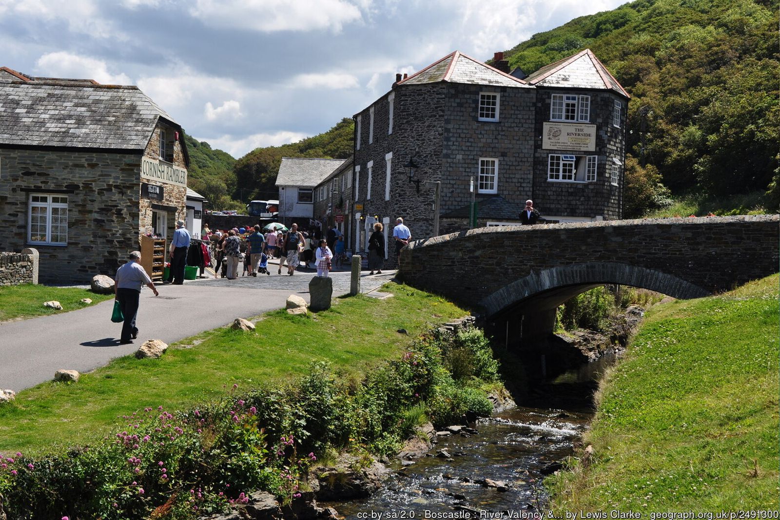
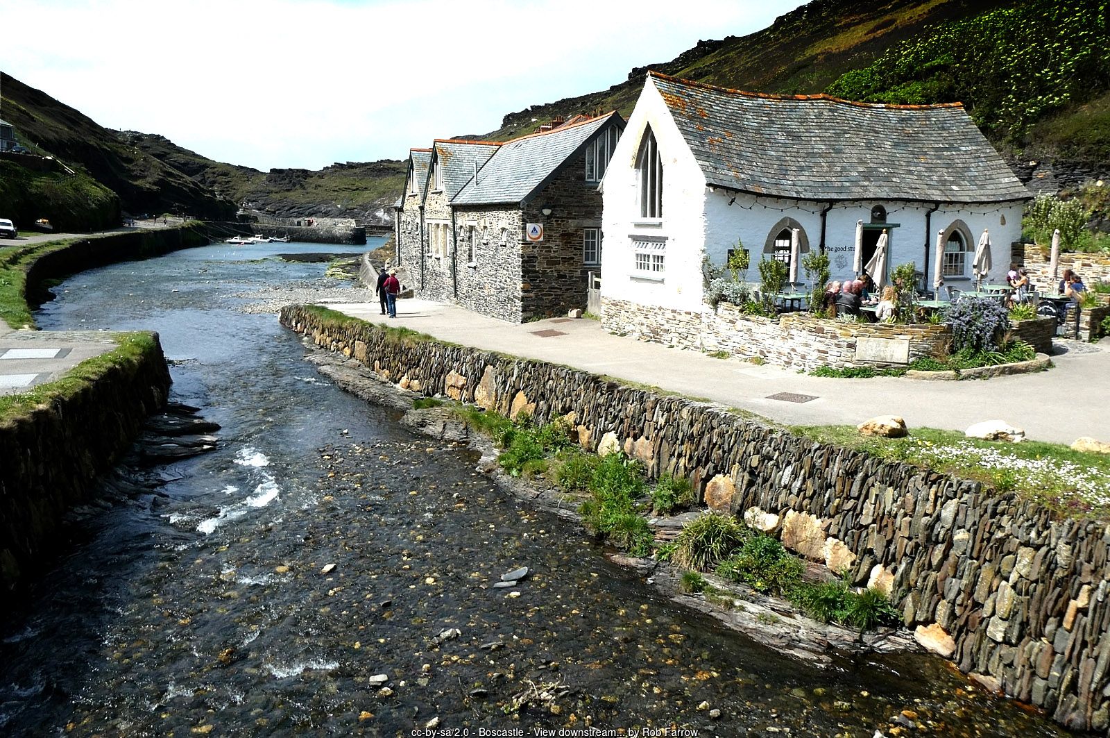
For a longer walk, continue halfway up through the village (a good time for refreshments) to the main road, the B3266. Turn left and after a few hundred yards turn left down a quiet, leafy lane signed to Minster Church, tucked away in Minster Wood. Your return path goes through a gate just after the church – follow the signs to Valency Woods. The path descends to the valley floor; turn left and follow the Valency River back to the harbour.
All information is given in good faith and for guidance only. Always carry the OS map and check the South West Coast Path website for diversions.
Highlights along the way
Boscastle Harbour
A rare natural harbour protected by twin stone walls, much of it now cared for by the National Trust.
Forrabury Stitches
Medieval strip fields on the headland above the harbour, still farmed in the traditional way.
Rocky Valley
A steep wooded ravine with ruined mill buildings and two small labyrinth carvings in the rock, of uncertain age.
Minster Church & Valency Valley
A secluded church in Minster Wood and a riverside path through the Valency Valley back to the harbour.
Nearby
Photos


Where the walk starts
The marker shows the start of the walk.
Before you set out
Carry the OS map – paths and signs can change and mobile signal is patchy.
Check the weather and tide times before you set out.
Keep to the path and well back from cliff edges.
Keep dogs under close control near livestock and cliffs.