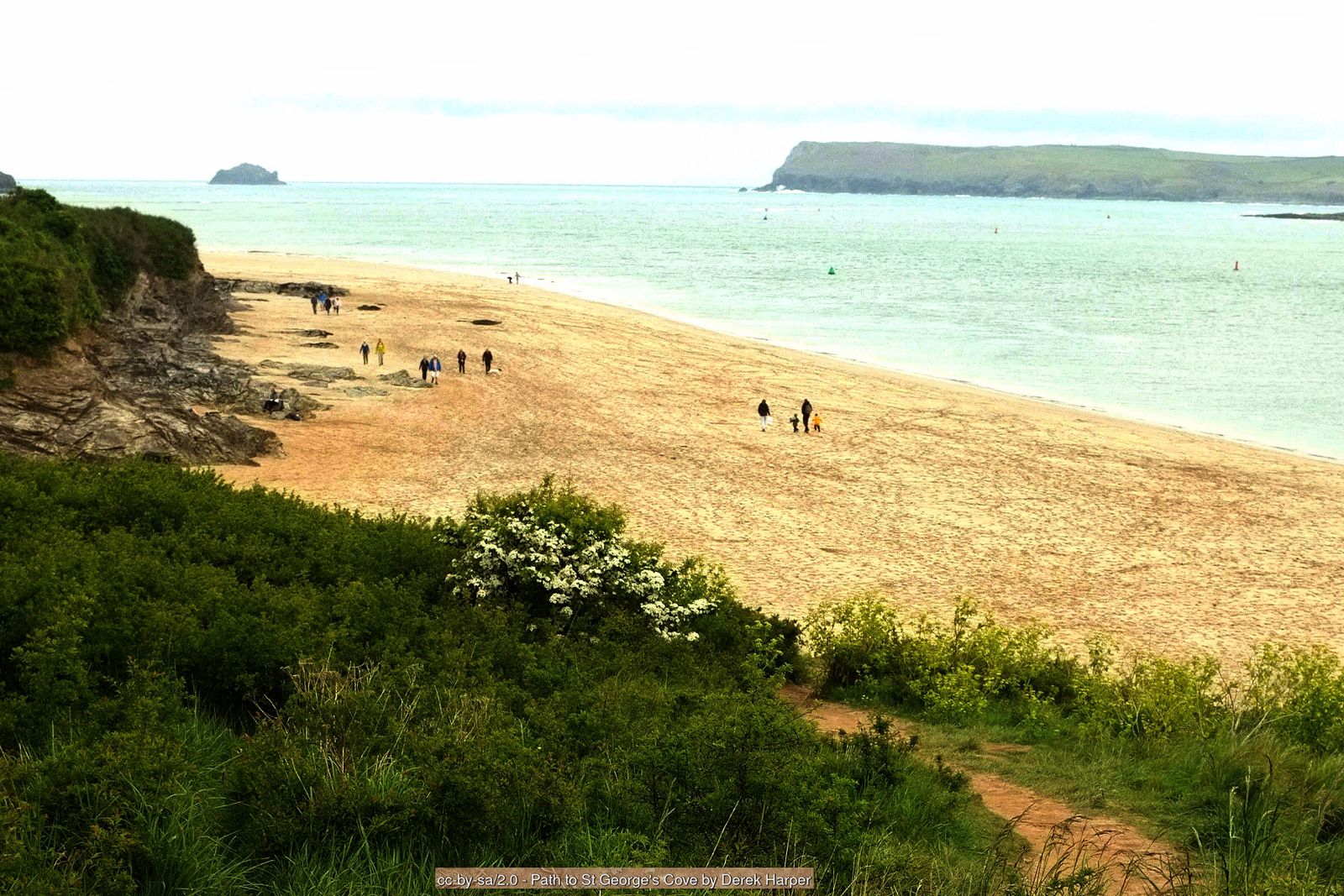
Headlands, beaches and the Camel Estuary – a classic North Cornwall circuit from the busy harbour of Padstow to the sands of Trevone.
After pottering around Padstow’s harbour, this walk follows the South West Coast Path out along the Camel Estuary to Stepper Point, then along high cliffs to Trevone Bay, before returning inland across open fields.
On a blustery day the cliffs between Stepper Point and Gunver Head are spectacular, with waves crashing into Butter Hole and over Gulland Rock out at sea.
Walk at a glance
- Distance
- 8 miles (about 3½ hrs)
- Grade
- Moderate – cliff paths with one steep valley crossing
- Map
- OS Explorer 106 – Newquay & Padstow
- Start
- Padstow harbour (or Trevone Bay)
- Terrain
- Coastal cliff paths, narrow lanes and fields – dogs on leads through grazed fields
Parking
Pay and display car parks in Padstow – busy in summer, with ample space out of season. Alternatively start from Trevone, parking next to the beach.
Facilities
Public toilets by Padstow harbour and a wide choice of cafés, pubs and pasty shops in Padstow. Seasonal toilets and café at Trevone.
Disabled access
The full walk is not suitable for wheelchairs or limited mobility – beyond the war memorial the coast path is uneven, with steps down to St George’s Cove, a steep stream crossing at Gunver Head and field paths on the return. Padstow harbour itself is level, and the short tarmac path from the northern end of the town through the park to the war memorial is suitable for wheelchairs and pushchairs, with good views over the Camel Estuary. There are public toilets by the harbour.
Places to stay
The route
Along the estuary
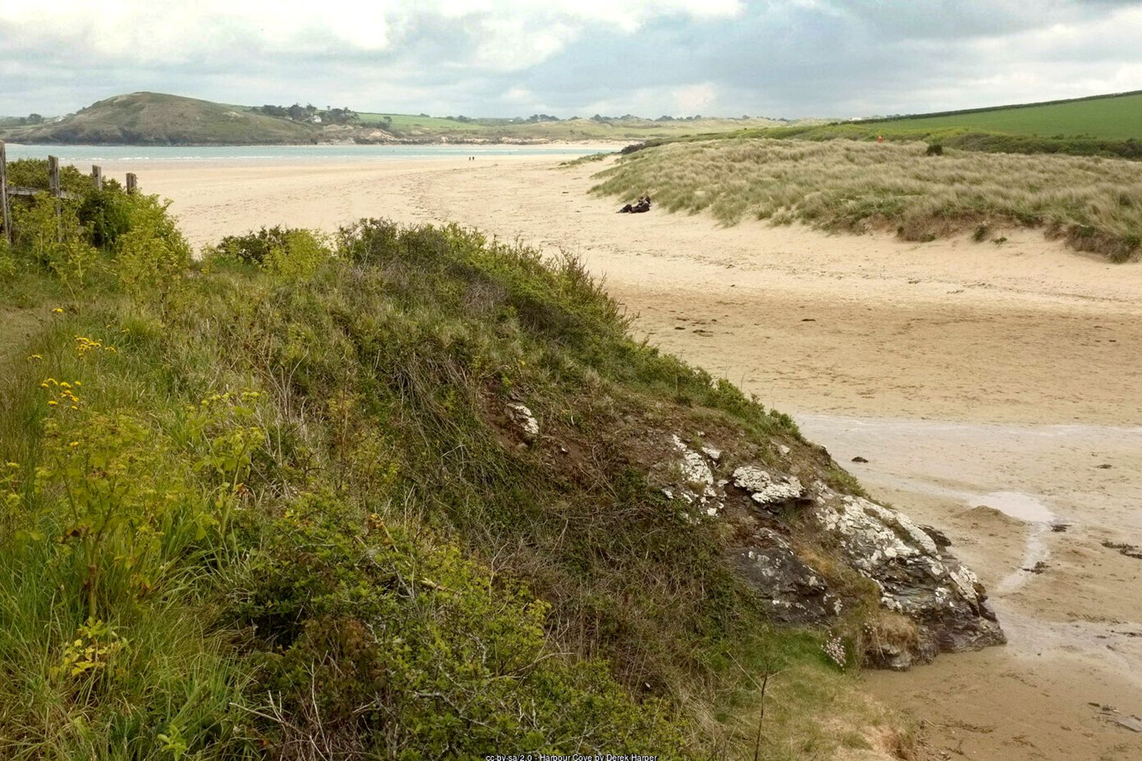
Start at the northern end of Padstow harbour. Look for the wide, well-trodden path marked with the acorn symbol of the coast path – it passes the landing point of the ferry from Rock, and the acorn will be your guide all the way to Trevone Bay. Head north towards Gun Point, leaving the crowds behind, with views across the Camel Estuary and the dunes towards Rock.
St George's Cove and Hawker's Cove
Steps lead down to the beach at St George's Well. If the tide is really low you can take a short cut across the sands to the old lifeboat station at Hawker's Cove.
Stepper Point and the Daymark
From Hawker’s Cove the path climbs slowly to Stepper Point, with Polzeath in full view across the estuary. Round the corner, head up towards the stone-built Daymark tower, an early navigation landmark for ships entering the Camel.
The high cliffs to Gunver Head
For the next 2 km (1¼ miles) the path hugs the high cliffs above Butter Hole, with Gulland Rock offshore. At Gunver Head the path cuts inland, descending steeply to a stream crossing and zig-zagging up past waterfalls – on a sunny, blustery day look for rainbows in the spray.
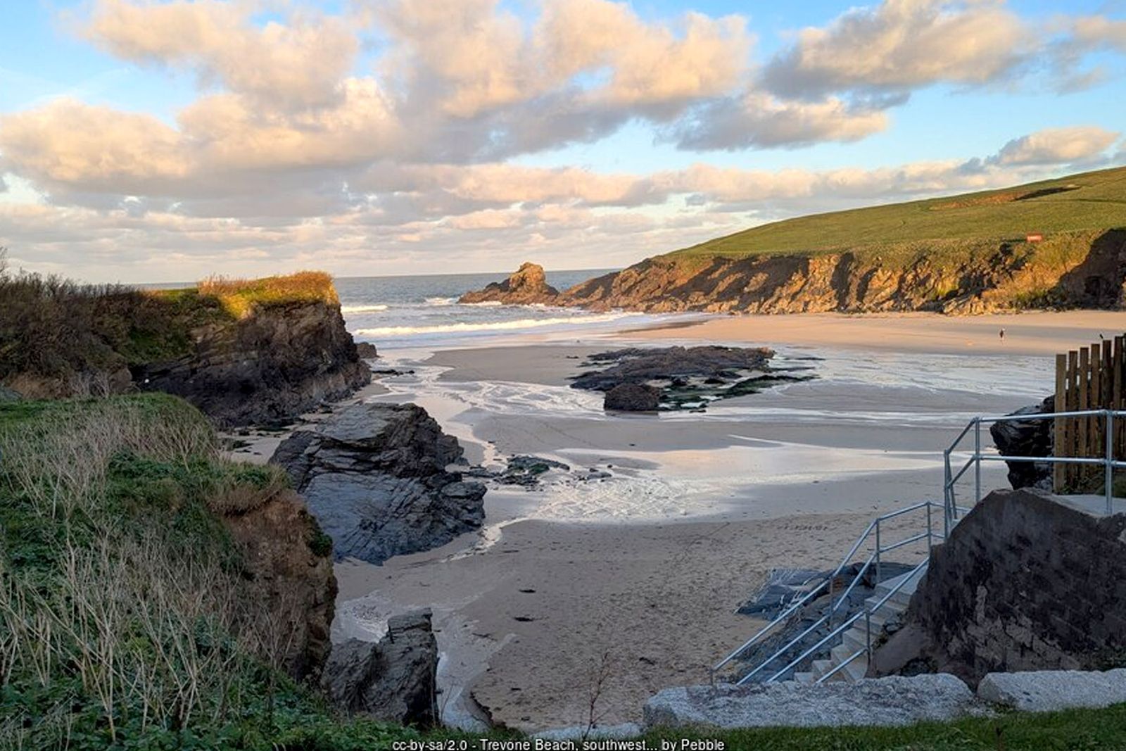
Down to Trevone Bay
From here the walking is gentle, through pasture down to Trevone Bay. Look out for layers of shiny slate and limestone in the cliffs, and for the Round Hole – an enormous collapsed sea cave near Trevone.
Back across the fields
From Trevone beach take the narrow road that bears sharp left away from the beach and climbs steeply north. Ignore turnings to the right and left. At the hamlet of Crugmeer turn right, then left by a post box; after 100 m the path turns right over a hedge and through fields. Follow it for about 1 km (½ mile) to a narrow tarmac road, turn right and walk down into Padstow, passing Prideaux Place. Any left turn brings you back to the harbour.
All information is given in good faith and for guidance only. Always carry the OS map and check the South West Coast Path website for diversions.
Highlights along the way
The Camel Estuary
Golden sands and dunes stretching across to Rock and Daymer Bay.
The Daymark
A stone tower on Stepper Point, long used by sailors to find the mouth of the Camel.
Round Hole
A huge collapsed sea cave in the fields near Trevone.
Prideaux Place
An Elizabethan mansion above Padstow, passed on the way back into town.
Nearby
Places to visit
Towns & villages
Photos

Where the walk starts
The marker shows the start of the walk.
Before you set out
Carry the OS map – paths and signs can change and mobile signal is patchy.
Check the weather and tide times before you set out.
Keep to the path and well back from cliff edges.
Keep dogs under close control near livestock and cliffs.