St George's Well & Harbour Cove
Padstow's Closest Beaches, Along the Camel Estuary Coast Path
St George's Well & Harbour Cove, near Padstow, Cornwall, PL28 8BY
St George's Well and Harbour Cove are the two closest beaches to Padstow, a pair of adjacent, closely-linked coves on the southern shore of the Camel Estuary reached not by car but on foot, following the South West Coast Path north-west out of the town along the harbourside and past St Saviour's Point. Neither has a car park of its own, and that single fact does more than anything else to shape their character: while Padstow's harbour, shops and restaurants a short walk away can feel thoroughly discovered in high season, these two beaches keep a genuinely quieter, more local feel simply because reaching them takes a bit of effort. St George's Well, the nearer of the pair and named for the ancient holy well set into the cliff behind it, is a small, sheltered cove of sand tucked below low cliffs; Harbour Cove, a little further along the path, is a longer, flatter sweep of golden sand backed by dunes, looking directly out over the mouth of the estuary towards Rock and Daymer Bay on the far shore. Together they offer one of the best combinations in the area of an easy, well-signed walk, genuine sand, and a real sense of having left the crowds behind without needing a car at all.
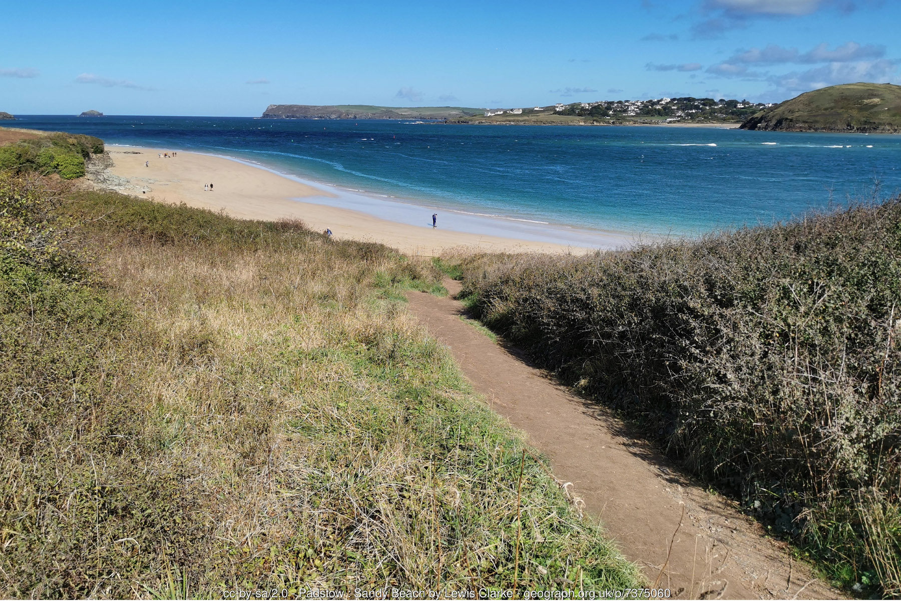
From Padstow, the walk to St George's Well begins along the North Quay and the harbourside path, climbing gently past St Saviour's Point, where a small granite war memorial cross looks out over the estuary, and on past the remains of a Second World War observation post and blockhouses set into the hillside - modest reminders that this stretch of coast, guarding the approach to a working harbour, had a role to play in coastal defence as recently as the 1940s. The path then drops down to St George's Well itself, around three-quarters of a mile and roughly fifteen to twenty minutes' walk from the harbour, by way of either a set of stone steps or, a short distance further along, a gentler sloped path better suited to pushchairs, dogs and anyone who would rather not scramble down rock. The cove takes its name from the well cut into the low cliff at its back, one of many holy wells scattered across Cornwall and traditionally associated - as such wells generally are in the county - with healing properties attributed to it by earlier Celtic and Romano-British inhabitants, though, in truth, relatively little specific history has been recorded about this particular spring beyond the name it has passed on to the beach. What is certain is that St George's Well is very much a tidal beach: at high water it contracts to a modest strip of sand hemmed in by rock and cliff, while as the tide drops it opens out generously, stretching from St Saviour's Point in the south-east to the ruined gun emplacement at Gun Point in the north-west, a run of the best part of half a mile of sand at its lowest. Being the closest beach of any real size to the town, it draws a steady stream of visitors through the summer and can feel busy on a fine day, but it remains, for many, simply the most convenient stretch of sand to reach from Padstow without a car.
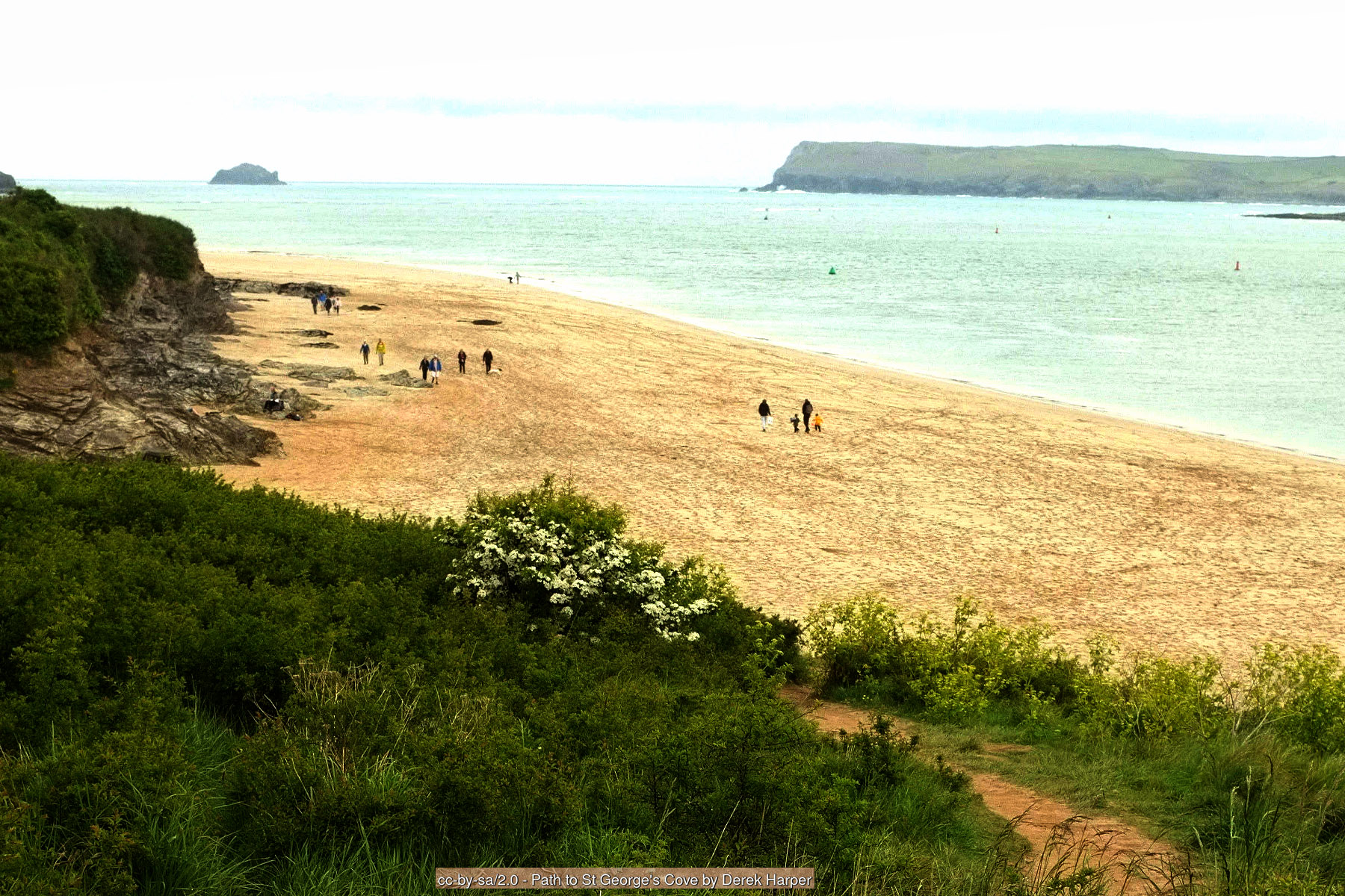
Continuing north-west along the coast path from St George's Well, past the low grassy headland and the scant remains of a Napoleonic-era gun battery at Gun Point, the path opens out onto Harbour Cove, reached in total after a walk of around a mile and a half to two miles and thirty-five to forty-five minutes from central Padstow. Where St George's Well is compact and cliff-bound, Harbour Cove is expansive: a flat, crescent-shaped beach of golden sand backed by a substantial run of grass-topped dunes, sitting in the shelter of Stepper Point at the mouth of the estuary and consequently far less exposed to Atlantic wind and swell than the beaches on the open coast beyond it. At low tide the sand here runs on for well over a mile, merging almost seamlessly with Hawker's Cove immediately to the north and, beyond that, spreading out to meet the great exposed expanse of the Doom Bar itself, so that on a good low spring tide it is possible to walk an enormous distance of firm, level sand with barely another person in sight. Across the water, the view is one of the best available from any beach in the area: the whole sweep of the estuary opens out to Rock and its own beaches, and to Daymer Bay a little further round, with Brea Hill and the dunes of St Enodoc rising behind them, while inland the wooded slopes above Padstow and the tower of Prideaux Place frame the view back towards the town.
It is Harbour Cove's position at the mouth of the estuary that connects it most directly to the single most famous natural feature of this coastline: the Doom Bar, a shifting sandbank formed by longshore drift that has plagued shipping trying to reach Padstow harbour for centuries. According to local tradition the bar takes its name and its curse from a dying mermaid, shot by a young man she had spurned near Hawker's Cove, who condemned the harbour mouth to be blocked with sand from that day on; whatever the truth of the legend, the bar is entirely real, and by some counts has caused more than six hundred wrecks, strandings and near-disasters since records began in the early nineteenth century, from small trading schooners to the 1,118-tonne barque Antoinette, lost there in 1895. It was that very danger which led, in 1827, to the establishment of a permanent lifeboat at Padstow, with a lifeboat house built two years later at Hawker's Cove, just around the point from Harbour Cove - a station that went on to earn a long and distinguished rescue record, including RNLI Silver Medals awarded in 1879 to five young local women who saved a drowning sailor from the surf. Silting in Hawker's Cove eventually made it unworkable as a launch site, and in 1967 the station relocated to its present, purpose-built home on the more open water at Trevose Head, a few miles up the coast, where Padstow's all-weather lifeboat is stationed today; the old boathouse and slipway at Hawker's Cove, visible across the water from Harbour Cove, survive as a quiet monument to more than a century of service. The Doom Bar has since lent its name to rather gentler things too, not least Sharp's Brewery's popular Doom Bar Ale, brewed in nearby Rock and now sold across the country - a reminder of how thoroughly this one stretch of sand has worked its way into local identity.
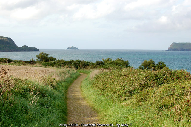
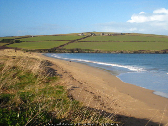
Because both beaches sit directly on the tidal Camel Estuary rather than facing the open Atlantic, their character changes markedly and quickly with the state of the tide, and this is worth understanding before setting out. At St George's Well, the beach all but disappears at high water, leaving only a narrow strip below the cliffs, so a walk planned for a falling or low tide will get considerably more sand and a much easier onward route towards Harbour Cove; check tide times before you leave Padstow, since being caught by a rising tide against low cliffs is a genuine, if avoidable, hazard here. Neither beach carries an RNLI lifeguard patrol, and although the estuary looks more sheltered than the open sea, strong tidal currents run through the channel as it drains and fills, particularly around the Doom Bar and the deep-water channel off Harbour Cove, so swimming is best approached with real caution and generally avoided altogether close to the main channel or on a fast-moving tide. Underfoot, both beaches are predominantly sand, though St George's Well has a scattering of rock and low cliff at its margins, and Harbour Cove's dunes, while excellent for a picnic out of the wind, are a fragile habitat that repays being kept to worn paths rather than trampled at random. Dog policy differs between the two: St George's Well follows Padstow's more central seasonal pattern, with dogs banned between 1 July and 31 August from 10am to 6pm, while Harbour Cove, being that bit further from town, allows dogs on the beach all year round with no restriction at all - useful to know if a summer visit with a dog is the plan, since walking on another twenty minutes turns a banned beach into a welcoming one.
For all the effort of reaching them, both beaches reward a visitor generously: genuine sand rather than a token strip, some of the finest estuary views on this coast, a real sense of history in the holy well, the old gun emplacements and the Doom Bar's long and dangerous story, and - increasingly rare within a mile of a town centre as popular as Padstow's - a stretch of coast that has kept its quiet, unhurried character largely intact. Many visitors make a full circular walk of the outing, continuing beyond Harbour Cove towards Lellizzick and returning to Padstow inland past Prideaux Place and its deer park, turning what could be a there-and-back stroll into a genuinely satisfying few hours out.
Visitor Information
Parking
Neither beach has a car park directly behind it. Park in Padstow itself, most conveniently at The Railway car park near the town centre, and follow the coast path north-west along the harbourside - about 15 to 20 minutes on foot to St George's Well and 35 to 45 minutes to Harbour Cove. A smaller parking area at Lellizzick, off the B3276, gives a shorter approach to Harbour Cove from the landward side for those who would rather drive most of the way.
Facilities
There are no facilities at either beach - no toilets, café or shop - so come prepared with water and anything else you need. All of Padstow's shops, cafés, pubs and public toilets lie within the 15 to 45 minute walk back along the coast path.
Disabled Access
Neither beach is accessible by wheelchair or with limited mobility – both are reached only via the coast path from Padstow or the Lellizzick parking area, with steps or an uneven, sloping path down to St George's Well and a longer walk on to Harbour Cove. There is no dedicated disabled parking at either access point.
Things to Do Nearby
- Walking the full Camel Estuary coast path circuit from Padstow via St George's Well, Harbour Cove, Hawker's Cove and Stepper Point, returning inland past Lellizzick and Prideaux Place
- Looking out from Harbour Cove for the old RNLI boathouse and slipway across the water at Hawker's Cove, home to Padstow's lifeboat until it moved to Trevose Head in 1967
- Trevone Bay, a further sandy beach with a striking tidal blowhole, a short walk or drive to the west
- Prideaux Place, the Tudor and Georgian mansion and deer park above Padstow, open to visitors through the summer season
- RNLI Padstow Lifeboat Station at Trevose Head, with a visitor centre telling the story of the Doom Bar and two centuries of rescues from this stretch of coast
- RNLI general guidance on estuary and tidal safety, worth reading before swimming anywhere on the Camel Estuary
Places to Stay
St George's Well and Harbour Cove have no holiday accommodation listings of their own on this site - both are reached on foot from Padstow and have no settlement of their own behind them. Padstow itself, a short and pleasant coast path walk away, offers by far the widest and most convenient range of places to stay for a visit to either beach:
Frequently Asked Questions
Page last updated: 15 September 2026.