Back to East Cornwall & Bodmin Moor walks
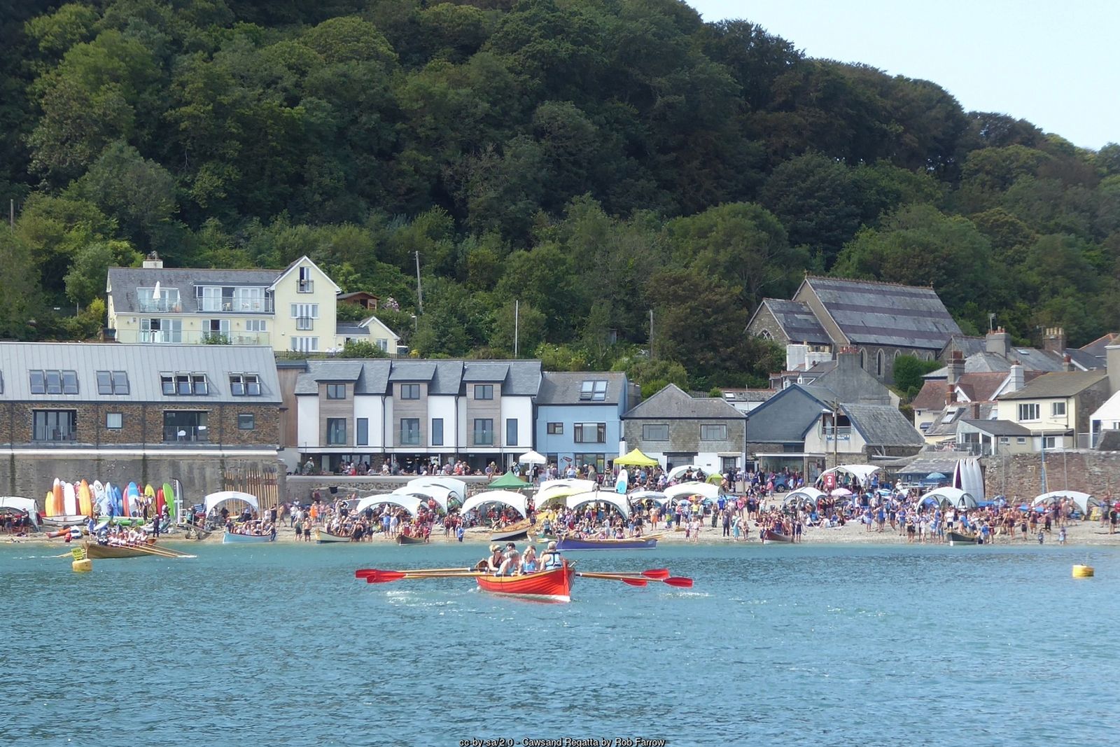
A medieval chapel on a lonely headland, Queen Adelaide’s Grotto and views from Plymouth Sound across Whitsand Bay to Looe – starting from Cornwall’s old smuggling villages.
Rame Head is the south-eastern tip of Cornwall – a steep, grassy cone of a headland crowned by a tiny medieval chapel, with Plymouth Sound on one side and the long sweep of Whitsand Bay on the other. On a clear day you can see the Eddystone Lighthouse out to sea.
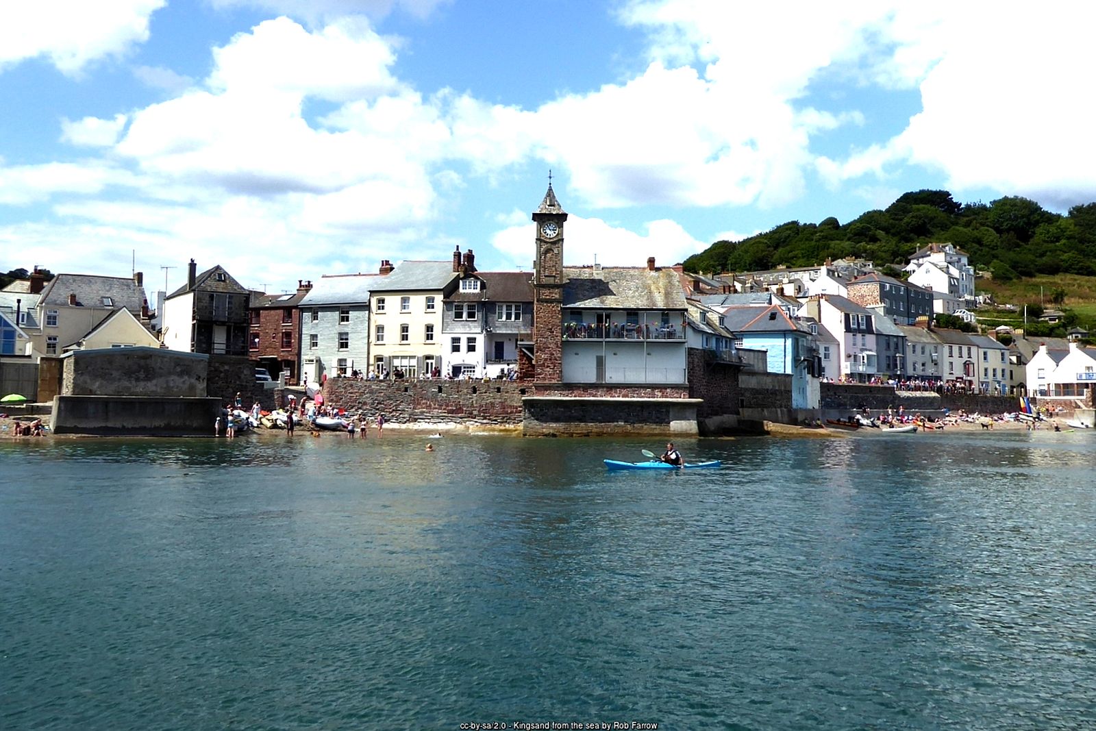
This circular walk starts in Cawsand, one of the twin villages of Kingsand and Cawsand whose narrow lanes were once a busy smuggling haunt. It follows the South West Coast Path through the woods to Penlee Point and around the cliffs to Rame Head, then returns inland past the ancient church of St Germanus at Rame and down the peaceful Forder valley.
Walk at a glance
- Distance
- 5 miles (about 2½ hrs)
- Grade
- Moderate – some steady climbs and a steep scramble up Rame Head
- Map
- OS Explorer 108 – Lower Tamar Valley & Plymouth
- Start
- The Square, Cawsand, by the Cross Keys Inn (PL10 1PF)
- Terrain
- Coast path through woodland and over cliff-top grassland, old military roads, field paths and quiet lanes
Parking
Cawsand car park (Cornwall Council, pay and display, 139 spaces, postcode PL10 1PA), a short walk from the square. There is also a car park in the centre of Kingsand. Rame Head car park (PL10 1LH), next to the coastwatch lookout, makes an alternative start. The villages’ streets are very narrow – do not try to park in them.
Facilities
Public toilets in Cawsand by the slipway and on the Kingsand sea front, and at the Rame Head car park. Pubs, cafés and shops in Kingsand and Cawsand, including the Cross Keys Inn and The Bay in Cawsand.
Disabled access
This walk is not suitable for wheelchairs or limited mobility: the coast path climbs steadily with uneven, rocky sections, and the final path up to the chapel on Rame Head is steep and rough. Easier alternatives: from the Rame Head car park there are wide views over Whitsand Bay and towards the headland without walking far, and there are accessible toilets there. In Cawsand the short slipway gives wheelchair and pushchair access to the beach, whereas the Kingsand beach has steps.
Places to stay
The route
Cawsand to the Penlee woods
From the square in Cawsand, follow the South West Coast Path signs up the lane out of the southern end of the village and into the woods above Cawsand Bay, looking back over the rooftops to Kingsand and Plymouth Sound.
Penlee Point
The path runs through the woods to Penlee Point, at the western entrance to Plymouth Sound. Just below the path is Queen Adelaide’s Grotto, a small arched shelter in the rocks named after Adelaide, later Queen, who visited in 1827. Inland is the old Penlee Battery, now a nature reserve.
Along the cliffs to Rame Head
Continue on the coast path west around the cliffs. The views open up across Whitsand Bay towards Looe, with Rame Head and its chapel standing out ahead. Stay on the coast path to the neck of the headland.
St Michael’s Chapel
Cross the neck of the headland, where the defensive ditch of an Iron Age promontory fort, with its central causeway, is still visible, and climb the steep path to St Michael’s Chapel on the summit. The chapel was licensed for Mass in 1397 and probably stands on the site of a much earlier hermitage. Take care on the rough final climb and near the cliff edges.
To Rame church
Return from the headland and head up to the Rame Head car park beside the National Coastwatch lookout. From opposite the car park entrance, cross the fields diagonally to the road and follow it to the church of St Germanus at Rame, consecrated in 1259.
Down the Forder valley to Cawsand
From the church, follow the footpath signs down through the Forder valley towards the sea. The path passes Cawsand Fort, built in the 1860s on the site of an earlier battery and now converted to homes, before dropping back into Cawsand.
All information is given in good faith and for guidance only. Always carry the OS map and check the South West Coast Path website for diversions.
Highlights along the way
St Michael’s Chapel
A tiny medieval chapel on the summit of Rame Head, licensed for Mass in 1397.
Penlee Point
Queen Adelaide’s Grotto and the old Penlee Battery nature reserve at the entrance to Plymouth Sound.
St Germanus, Rame
A remote church consecrated in 1259 on an earlier Norman site.
Kingsand & Cawsand
Twin fishing and smuggling villages; Kingsand was once on the Devon side of the old county border.
Nearby
Towns & villages
Photos
Where the walk starts
The marker shows the start of the walk.
Before you set out
Carry the OS map – paths and signs can change and mobile signal is patchy.
Check the weather and tide times before you set out.
Keep to the path and well back from cliff edges.
Keep dogs under close control near livestock and cliffs.