Back to East Cornwall & Bodmin Moor walks
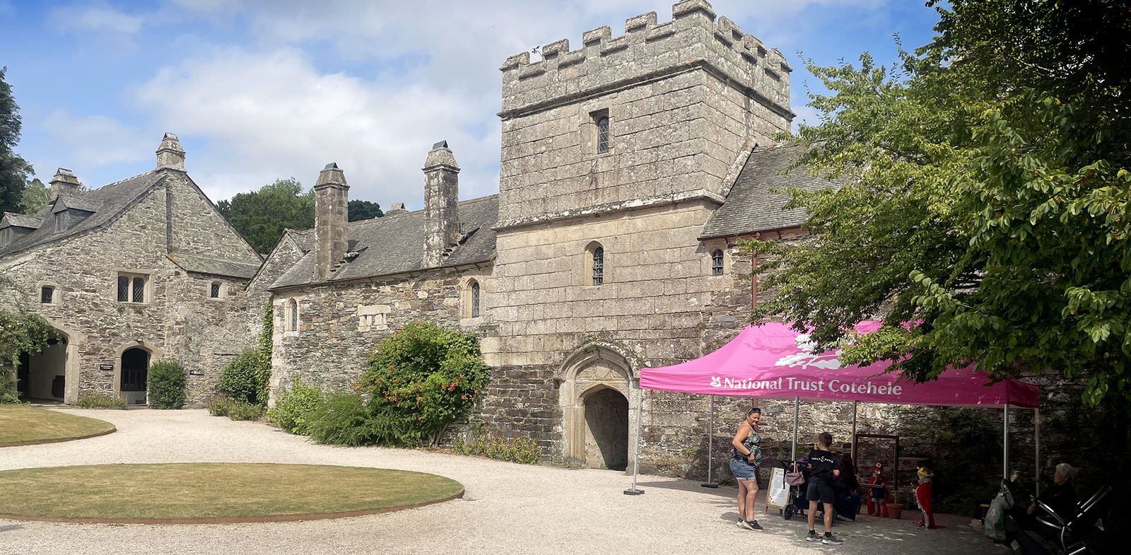
Riverside woods, old daffodil slopes and engine houses, a folly with far-reaching views and a Tudor house on the banks of the Tamar.
This walk starts from Cotehele Quay and follows the meanders of the River Tamar upstream through National Trust woodland to the Danescombe valley, then climbs through old daffodil slopes and past engine houses to the Prospect Tower, before returning past Cotehele House and gardens to the quay.
For a longer walk, continue upstream beneath the viaduct to the riverside village of Calstock and along the reed-fringed banks of the Tamar. Dogs are welcome on the woodland paths; check National Trust guidance for the gardens.
Walk at a glance
- Distance
- Short walk 2.2 miles; longer walk via Calstock 5.3 miles
- Grade
- Easy, with a steep-ish climb and descent into Danescombe valley
- Map
- OS Explorer 108 – Lower Tamar Valley & Plymouth
- Start
- National Trust car park, Cotehele Quay (grid ref SX 424681, PL12 6TA)
- Terrain
- Woodland tracks, footpaths and fields – muddy in places
Parking
National Trust car park at Cotehele Quay. Charges apply to non-members.
Facilities
Toilets on the Quay and at the house. Refreshments at the Quay (check – the café has been closed for building works, with a kiosk instead) and at the house. Pub, café and toilets in Calstock. Check the National Trust website for Cotehele opening times.
Disabled access
The full walk is not suitable for wheelchairs: the paths into and out of the Danescombe valley are steep, narrow and muddy in places. For wheelchair users there is a lovely alternative from the Quay – a short stretch of quiet road, then a broad woodland path beside the tidal stream leads about ½ mile to Cotehele Mill (with a grassy picnic area) and on, mostly level, to the weir, roughly a mile in all; the National Trust describes this path as tarmac, gravel and stone, muddy after rain, and suitable for motorised or robust manual wheelchairs. The path from the mill up to the house is rocky with wooden retaining slats and very difficult without a fit companion, but a volunteer-run shuttle bus links the Quay, Mill and house on most days (check on the day). There are Blue Badge spaces in the Quay car park and the farmyard car park by the house, accessible toilets on the Quay and in the farmyard, and the Discovery Centre on the Quay has a step-free entrance on its far side.
The route
Along the Tamar
From the car park follow the broad track through the woods towards Calstock, with the River Tamar on your right. Pass a chapel on your right and the lower gardens of Cotehele on your left. Stop at the viewpoint above the river: ahead is Calstock, and the viaduct carries the Tamar Valley railway line; Devon is on the opposite bank.
To the Danescombe valley
A steep-ish climb and descent lead to the Danescombe valley. For the short walk, continue from the step “Up through the old daffodil slopes” below.
Longer walk: Calstock
Turn right past a row of cottages and follow the path and quiet lane into Calstock. Turn left down to the slipway, toilets, pub and riverside café. From the slipway follow a path beside the football pitch along the river, a delightful meander past reed beds. At the end go through a kissing gate, turn left and follow the quiet road back to Calstock. Retrace your steps towards Cotehele, then take the second public footpath on the left just past Calstock boatyard, climbing through woodland.
Up through the old daffodil slopes
Where the footpath divides, go under the footbridge, passing a house on the left, to a tarmac track; turn right and it soon becomes a path. In spring these wooded slopes are covered in daffodils and narcissi. Bear left at a wooden fence down into the Danescombe valley. Turn left by the stream, then first right over a wooden footbridge and head up and back towards Cotehele. At the top of the narrow path turn left onto a wider track with views back over Calstock.
The Prospect Tower
Take care here: look for a small stream across your path; about 20 yards beyond, small steps lead to a footpath on your right. Climb up and to your left until a tower appears on the horizon. Head to the right of the folly towards a group of pine trees and a gate – beware of mud. If the tower is open, climb to the top for the view.
Cotehele House and back to the quay
From the tower follow a row of trees down to a kissing gate. The wall ahead is the boundary of Cotehele’s gardens. Turn left (or enter the gardens here) and follow the outside of the wall through a gate to the house. It is a short walk back down to the quay.
All information is given in good faith and for guidance only. Always carry the OS map and check the South West Coast Path website for diversions.
Highlights along the way
Cotehele House
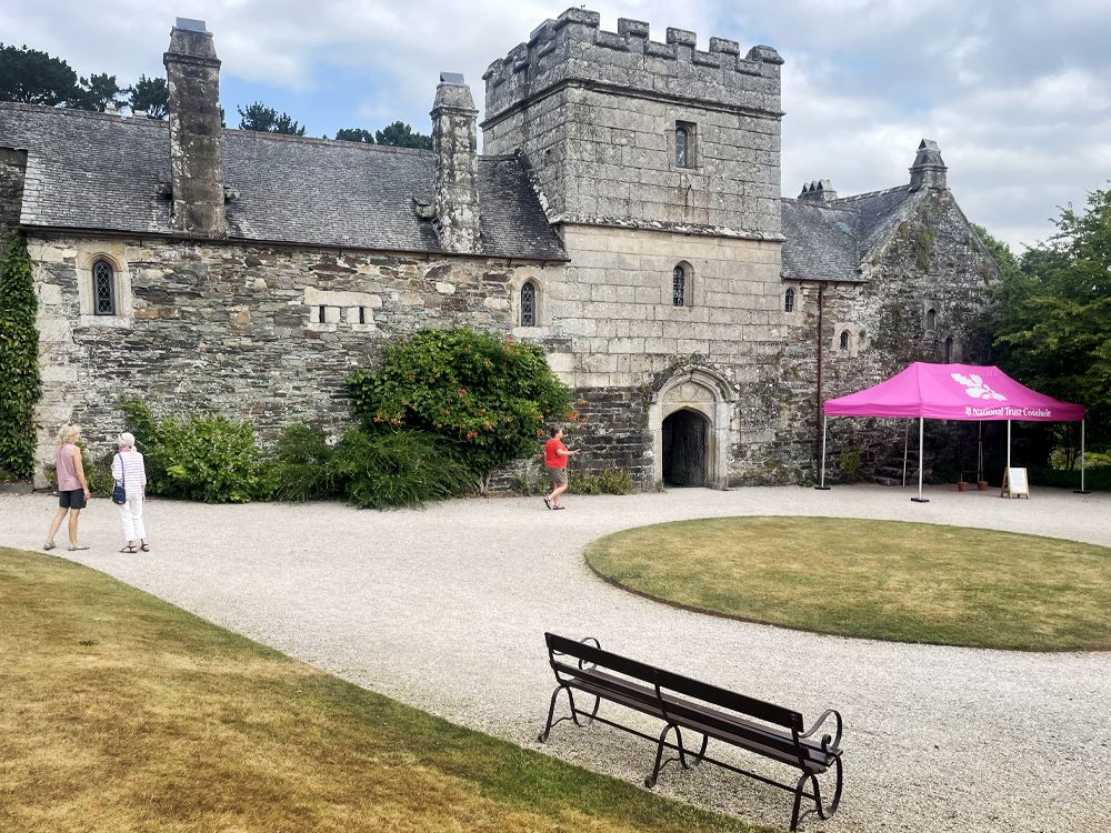
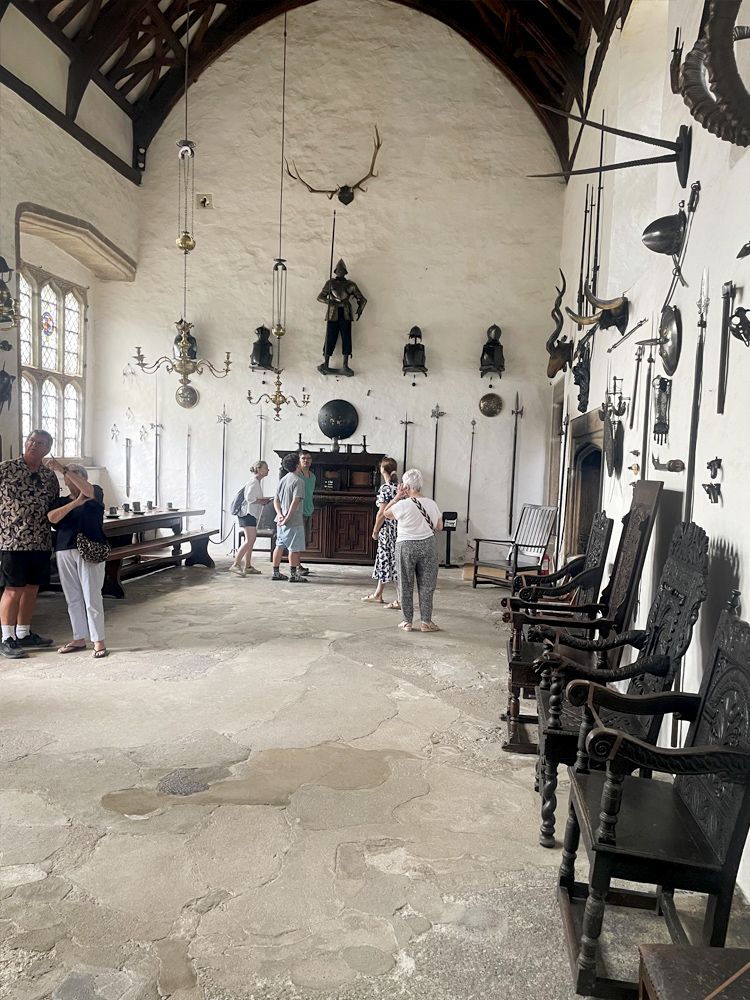
A Tudor house with fine tapestries and gardens (National Trust).
Cotehele Quay
A historic quay with the restored Tamar sailing barge Shamrock.
Calstock Viaduct
A striking railway viaduct across the Tamar.
The Prospect Tower
An 18th-century folly with far-reaching views.
Nearby
Towns & villages
Photos

Where the walk starts
The marker shows the start of the walk.
Before you set out
Carry the OS map – paths and signs can change and mobile signal is patchy.
Check the weather and tide times before you set out.
Keep to the path and well back from cliff edges.
Keep dogs under close control near livestock and cliffs.