Back to East Cornwall & Bodmin Moor walks
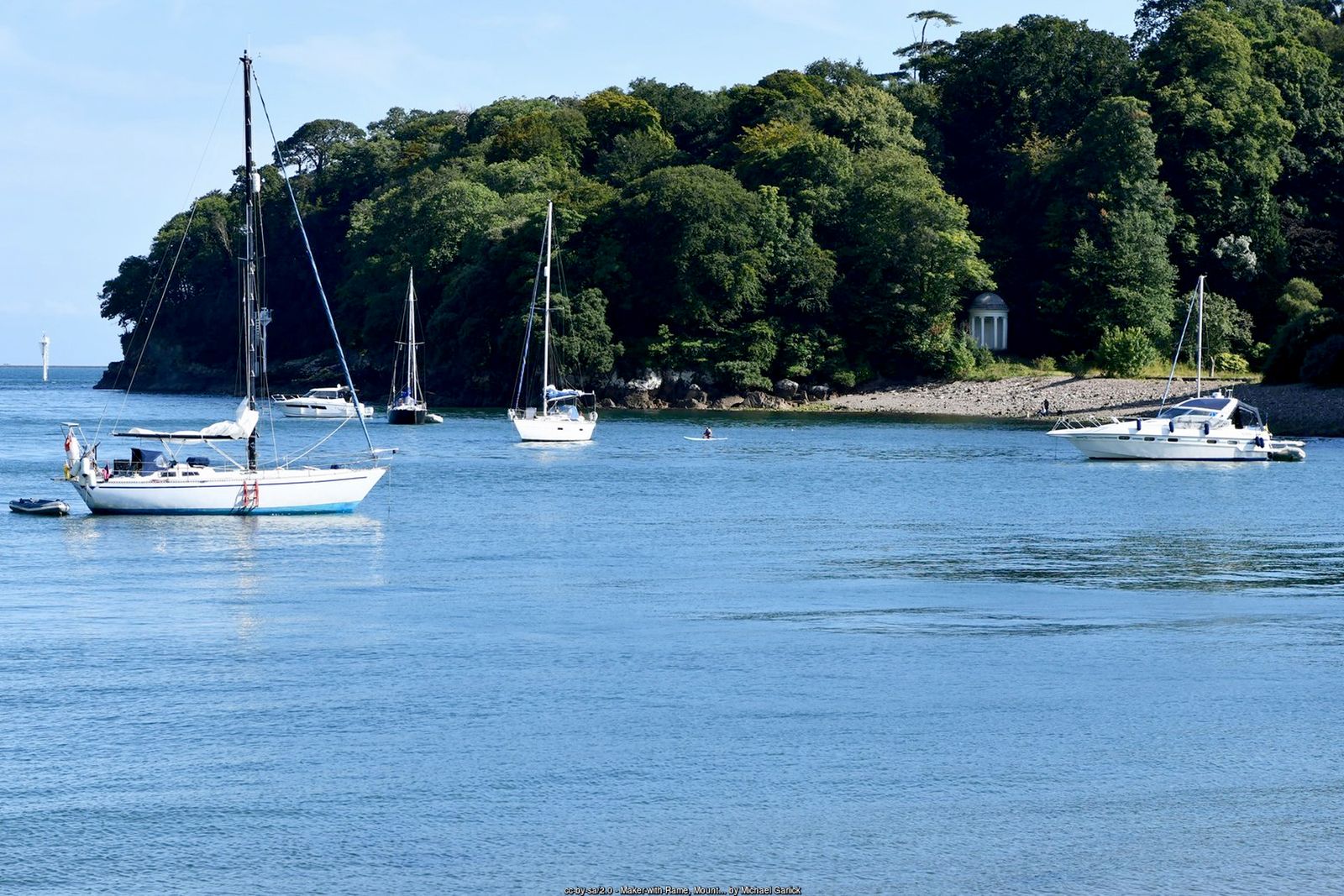
Historic gardens, woodland follies and a coast path with grandstand views over Plymouth Sound – all a short ferry ride from Plymouth.
Mount Edgcumbe Country Park covers some 865 acres of the Rame Peninsula facing Plymouth across the mouth of the Tamar. Its gardens and parkland – among the earliest landscaped grounds in Cornwall – are rated Grade I, and the Tudor-style house, gutted by bombs in 1941, was rebuilt after the war. The park has been owned jointly by Plymouth and Cornwall councils since 1971 and is free to explore.
This circuit starts at Cremyll, where a ferry has crossed from Plymouth since medieval times. It passes the formal gardens, follows the South West Coast Path along the wooded shore past Lady Emma’s Cottage and Fort Picklecombe, climbs through the deer park to Maker Church, and returns along the quiet waterside to Cremyll. A longer option continues along the coast to the twin villages of Kingsand and Cawsand.
Walk at a glance
- Distance
- Main walk 4.3 miles (about 2½ hrs)
With Kingsand extension about 5¾ miles - Grade
- Moderate – some steep climbs and steps on the coast path
- Map
- OS Explorer 108 – Lower Tamar Valley & Plymouth
- Start
- Cremyll ferry landing, opposite the Edgcumbe Arms, Cremyll PL10 1HX
- Terrain
- Surfaced garden paths, woodland and cliff paths, parkland and a waterside footpath – muddy in places
Parking
Cremyll pay and display car park (Mount Edgcumbe, RingGo location 16851) beside the ferry landing. Maker car park by Maker Church (honesty box) is an alternative start on the circuit. Better still, arrive on foot: the Cremyll Ferry carries foot passengers and cycles across the Tamar from Admiral’s Hard, Stonehouse, in Plymouth – check the timetable before you travel.
Facilities
Public toilets at Cremyll and at the Orangery in the formal gardens, with the Orangery café and the Edgcumbe Arms pub at Cremyll. The country park is open free every day; Mount Edgcumbe House is open seasonally for guided tours (check opening times before you visit). Pubs, cafés and toilets in Kingsand and Cawsand on the extension.
Disabled access
The full walk is not suitable for wheelchairs: the coast path has steep climbs, uneven ground and steps, including the ZigZags above Lady Emma’s Cottage. The area around Cremyll is the most accessible part – the lower formal gardens have surfaced paths with easy and moderate ramps (the few steps can be avoided by slopes) and there is an accessible toilet by the Orangery. Blue Badge parking is on the drive next to the house, and rugged all-terrain mobility scooters can be hired through the Countryside Mobility scheme (book ahead).
The route
Cremyll and the formal gardens
From the ferry landing go through the gates into Mount Edgcumbe House and Country Park. Before joining the coast path, it is well worth a detour through the lower formal gardens – Italian, French and English gardens laid out in the 18th and early 19th centuries around the Orangery.
Along the shore
Join the South West Coast Path and follow it around the eastern shoreline of the estate, past the sheltered anchorage of Barn Pool, with views across Plymouth Sound to Drake’s Island and the Hoe. The path continues through the park and then climbs steeply through the trees.
Lady Emma’s Cottage and the ZigZags
After Lady Emma’s Cottage the path climbs steeply up the ZigZags. At the top, carry on around Redding Point, with Plymouth Breakwater spread out below.
Fort Picklecombe
Approaching Picklecombe Point, the path turns inland around the back of Fort Picklecombe, a Victorian fort now converted to flats. Continue past the Picklecombe Seat, where the path turns back towards the coast and begins to descend.
Up through the deer park to Maker Church
Soon after Picklecombe you reach a junction of paths above the Hooe Lake valley. Leave the coast path here and take the path to the right, bearing uphill around the head of the valley and on up through the deer park, carrying straight on at the top to Maker Church and its car park.
Back to Cremyll by the water
From Maker Church follow the signed footpath across the B3247 and down through the woods to Lower Anderton. Cross the Lower Anderton road and follow the waterside footpath around Palmer Point and the quay at Empacombe, keeping to the footpath signs around the buildings, and continue above the shore back to Cremyll.
Longer walk: Kingsand and Cawsand
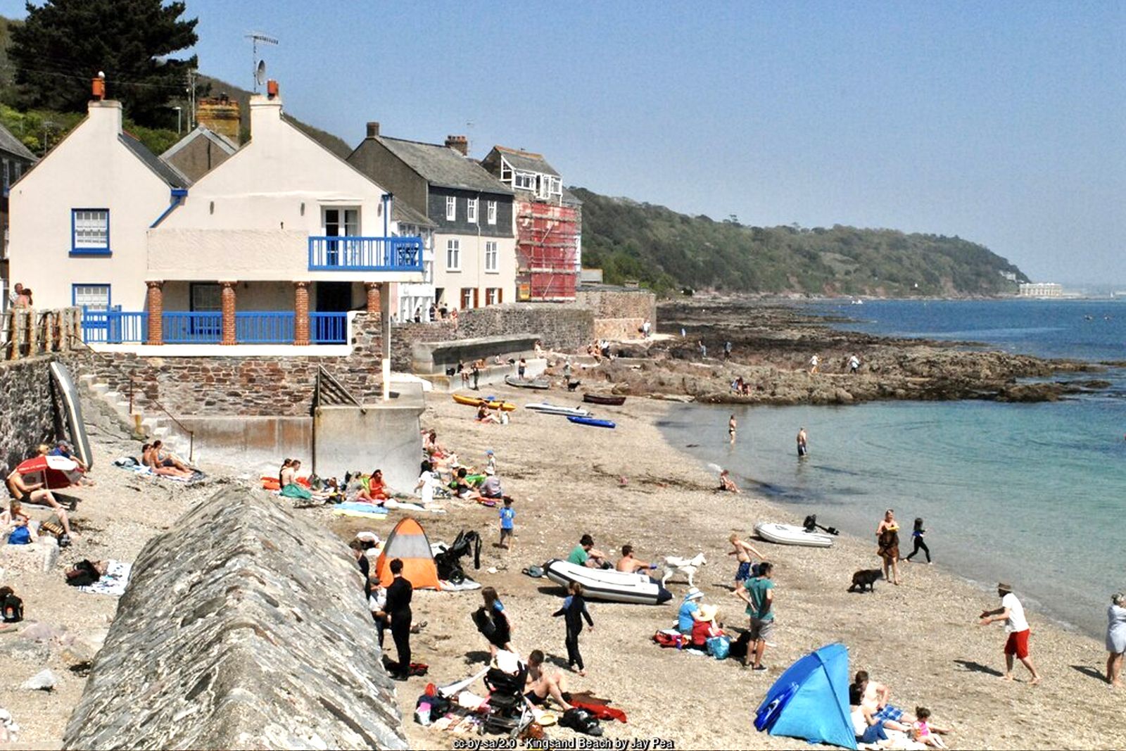
For a longer day, stay on the coast path at the junction above the Hooe Lake valley and follow it down through the woods to Kingsand and Cawsand for refreshments and the beach. From Kingsand, climb back up to Maker Church on the park’s signed multi-use trail and rejoin the main walk there – a stiff climb, but on firm tracks.
All information is given in good faith and for guidance only. Always carry the OS map and check the South West Coast Path website for diversions.
Highlights along the way
The formal gardens
Italian, French and English gardens around the Orangery, plus the National Camellia Collection.
Barn Pool
A sheltered deep-water anchorage below the park, used by ships since at least Viking times.
Picklecombe and Redding Point
Cliff-top follies, Victorian Fort Picklecombe and superb views over Plymouth Sound and the Breakwater.
Maker Church
A medieval church high on the peninsula beside the deer park, home to the Edgcumbe family vault.
Nearby
Beaches
Towns & villages
Photos
Where the walk starts
The marker shows the start of the walk.
Before you set out
Carry the OS map – paths and signs can change and mobile signal is patchy.
Check the weather and tide times before you set out.
Keep to the path and well back from cliff edges.
Keep dogs under close control near livestock and cliffs.