An Iron Age earthwork, a granite cross on the highest headland on Cornwall’s south coast, and two of the loveliest beaches between Mevagissey and the Roseland.
The Dodman is the highest headland on Cornwall’s south coast, a great green promontory between Mevagissey Bay and Veryan Bay cared for by the National Trust. Across its neck runs the Bulwark, a massive Iron Age earthwork, and on its tip stands a granite cross put up in 1896 as a mark for shipping.
This circular walk from Penare drops to Hemmick Beach, follows the South West Coast Path round the headland past the old Admiralty watch house to Vault Beach, then visits the fishing village of Gorran Haven before returning over the fields.
Walk at a glance
- Distance
- 4¾ miles (about 3 hrs)
- Grade
- Moderate – some steep sections, steps and stiles
- Map
- OS Explorer 105 – Falmouth & Mevagissey
- Start
- National Trust car park, Penare, near Gorran Haven (PL26 6NY)
- Terrain
- Coast path, field paths and a steep lane; muddy in places all year
Parking
National Trust car park at Penare (postcode PL26 6NY), free for National Trust members. There is no parking at Hemmick Beach. The National Trust also has a small donation car park at Lamledra, between the Dodman and Gorran Haven.
Facilities
No toilets or refreshments on the Dodman. Seasonal public toilets, pubs, cafés and a shop in Gorran Haven, roughly two-thirds of the way round.
Disabled access
This walk is not suitable for wheelchairs or anyone with limited mobility: the coast path is narrow and uneven, with steep climbs, steps, stiles and kissing gates, and it runs close to unfenced cliff edges. The path down to Hemmick Beach and the steps into Gorran Haven are also steep. There are no accessible facilities on the headland; Gorran Haven village and its small harbour beach can be reached by car, but the lanes in and out are steep and narrow and parking is limited.
Places to stay
The route
Penare to Hemmick
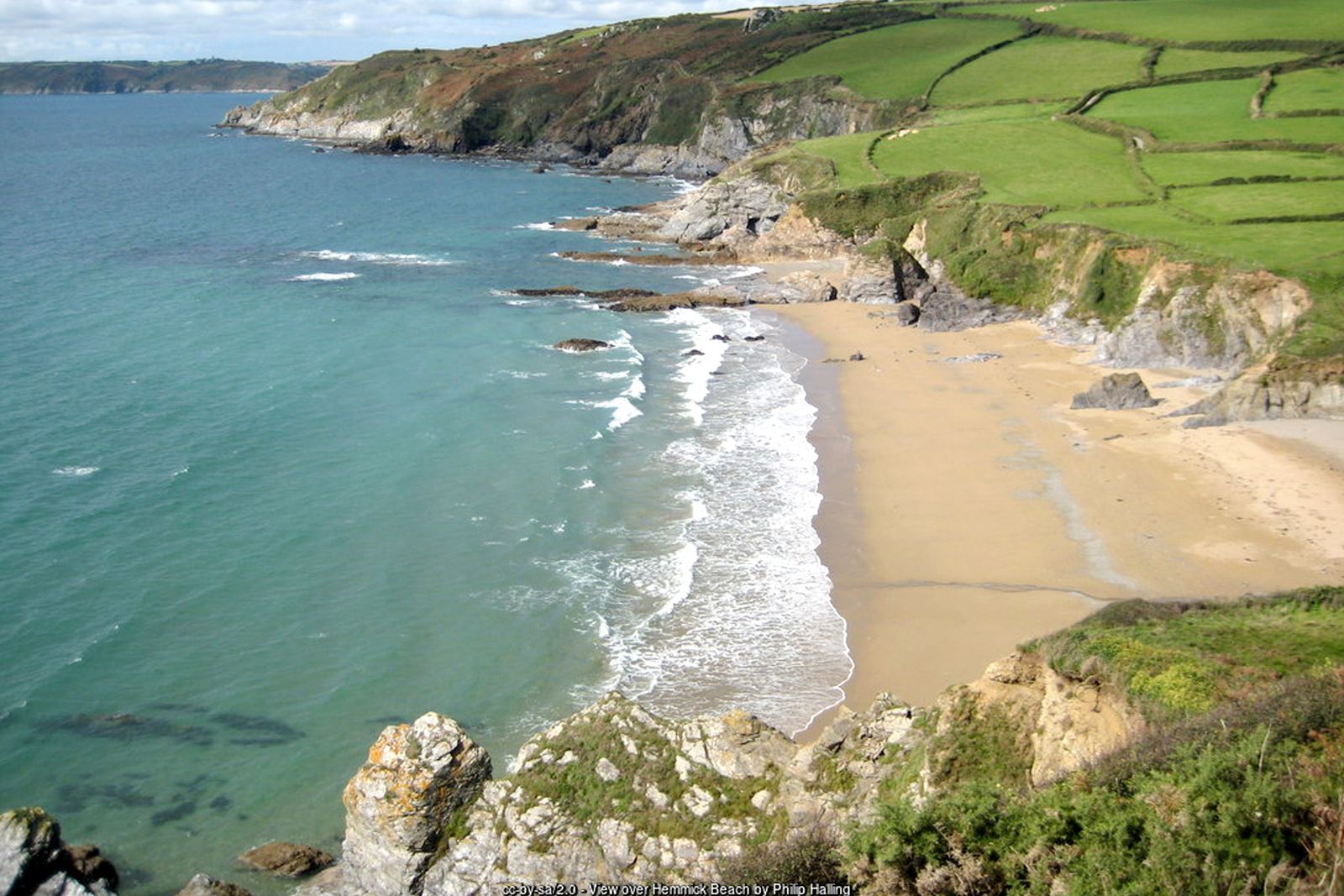
From Penare car park cross the road, climb the steps to join the path and turn right, signed towards Hemmick Beach. A broad path follows a fence line across the field; bear left as Hemmick Beach comes into view below.
Up to the Bulwark
Bear left onto the South West Coast Path and head uphill with the sea on your right. Soon you meet the Bulwark, a bank and ditch around 600 metres long that cut off the headland as an Iron Age promontory fort. You can take a shorter route inland along the Bulwark, or continue round the headland on the coast path.
Dodman Point
Follow the coast path out to the granite cross on Dodman Point. Nearby is the Watch House, a late 18th-century Admiralty signal station, worth a short detour. The views stretch west over Veryan Bay to Nare Head and east across Mevagissey Bay.
To Vault Beach
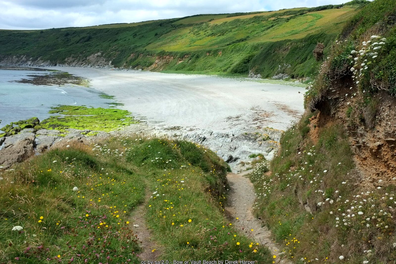
Continue through two kissing gates along the eastern side of the headland – look out for peregrines, stoats and, offshore, gannets. Where you meet the eastern end of the Bulwark you can turn left for a short cut back to Penare (about ¾ mile). Otherwise keep to the coast path down towards Vault Beach, a long sweep of sand and shingle ending at Maenease Point.
Gorran Haven
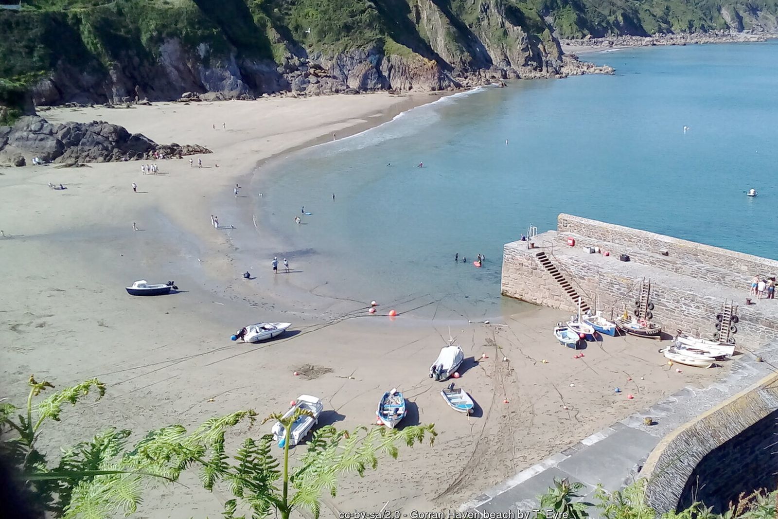
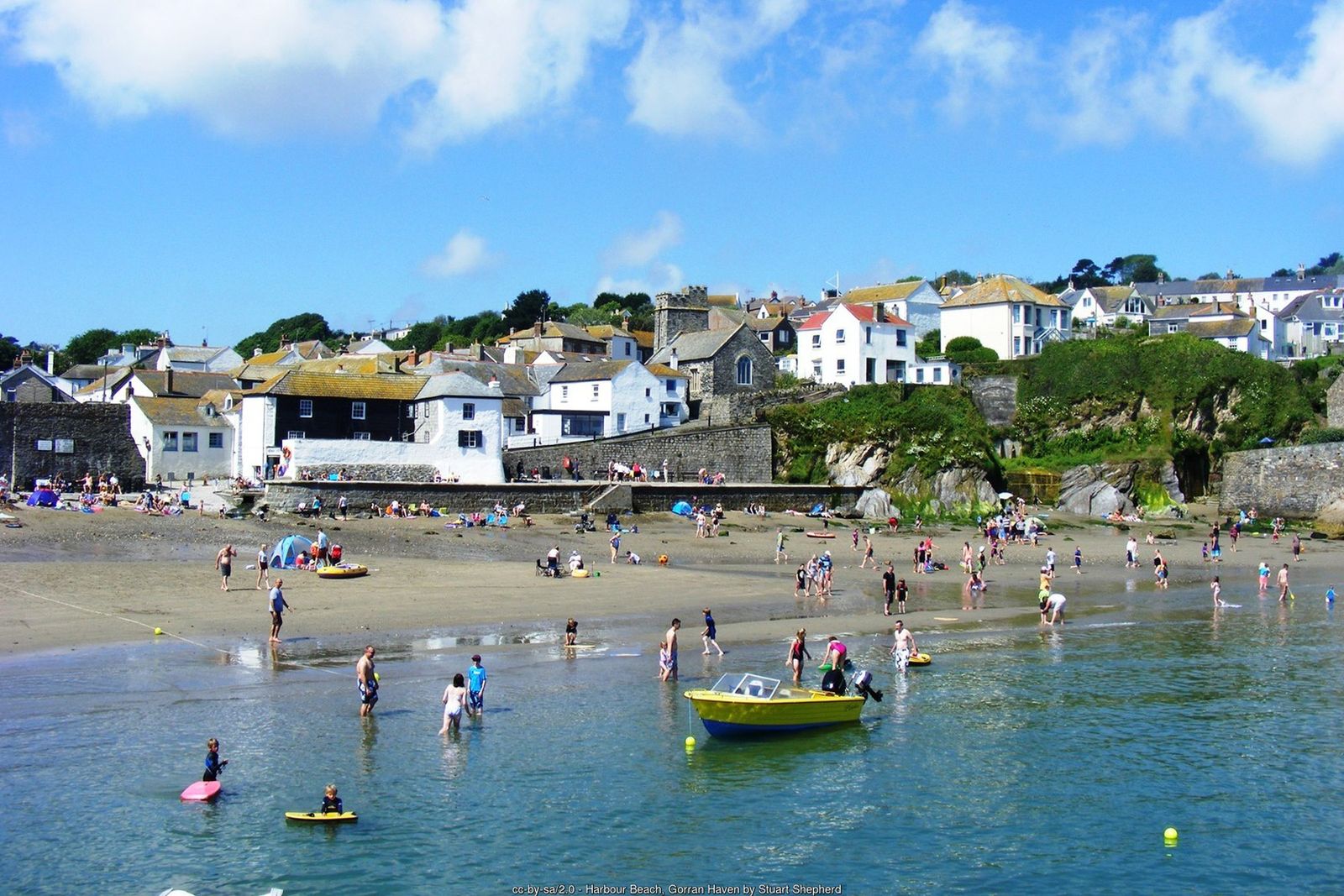
From Vault Beach follow the lower path towards Gorran Haven (an inland short cut via Lamledra car park is also possible). Take the steps down into the village for refreshments and the little harbour beach.
The Gruda and back to Penare
Leave Gorran Haven by turning left up steep Foxhole Lane and continue past Lamledra car park onto the Gruda, a narrow strip of land with views over Vault Beach to the Dodman. Before the next field gate climb a stone stile and follow the path diagonally across the field towards the roofs and trees of Penare. Cross another stone stile and a wooden stile onto the road and bear left back to the car park.
All information is given in good faith and for guidance only. Always carry the OS map and check the South West Coast Path website for diversions.
Highlights along the way
The Bulwark
An Iron Age earthwork cutting off the headland, up to 6 metres high in places.
Dodman Point cross
A granite cross erected in 1896 as a navigation mark on the highest headland on Cornwall’s south coast.
Vault Beach
A long, sheltered beach of sand and shingle below the Dodman.
Gorran Haven
A small fishing village with a sandy harbour beach and a little chapel on the shore.
Nearby
Places to visit
Towns & villages
Photos
Where the walk starts
The marker shows the start of the walk.
Before you set out
Carry the OS map – paths and signs can change and mobile signal is patchy.
Check the weather and tide times before you set out.
Keep to the path and well back from cliff edges.
Keep dogs under close control near livestock and cliffs.