Seaton
A Level, Sand-and-Shingle Beach at the Mouth of the River Seaton
Seaton, near Looe, Cornwall, PL11 3JD
Seaton is a small village at the mouth of the River Seaton, in the civil parish of Deviock in South East Cornwall, roughly 3.8 miles east of Looe and about a mile west of its larger neighbour Downderry. Geographically that places it just before the eastern entrance to Whitsand Bay proper, though it is grouped here with the bay's beaches as the immediate western neighbour of Downderry along the same run of coast. The Cornish name for the settlement is thought to derive from Sethyn, meaning something close to "little arrow", a reference to the river rather than the village itself. What sets Seaton apart from most of its neighbours on this coast is how easy it is to reach: where Downderry has its slipway and the main beaches of Whitsand Bay further west are reached down steep cliff paths, the road into Seaton runs level, without a single step, right down to the sand - making it one of the more genuinely accessible beaches anywhere on this stretch of the Rame Peninsula.
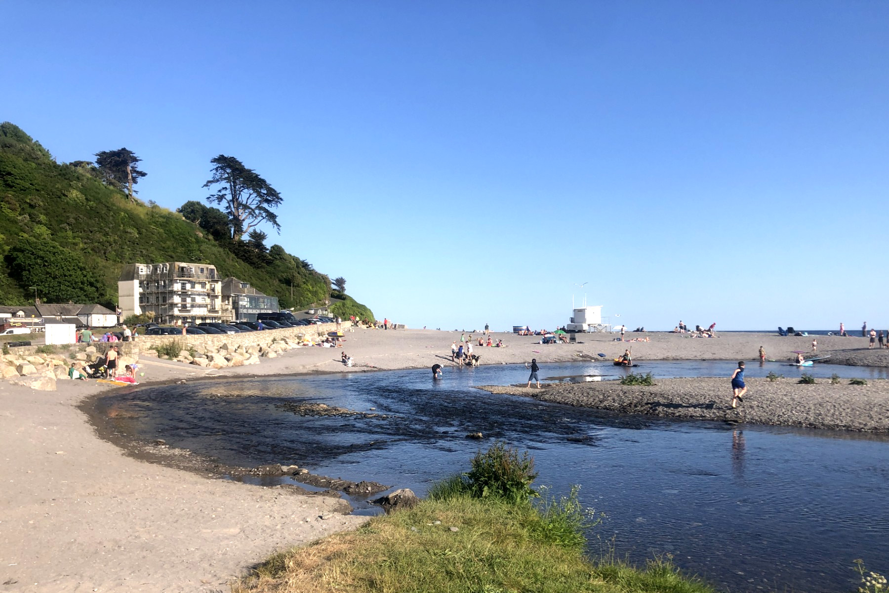
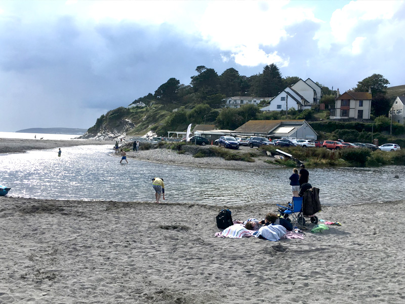
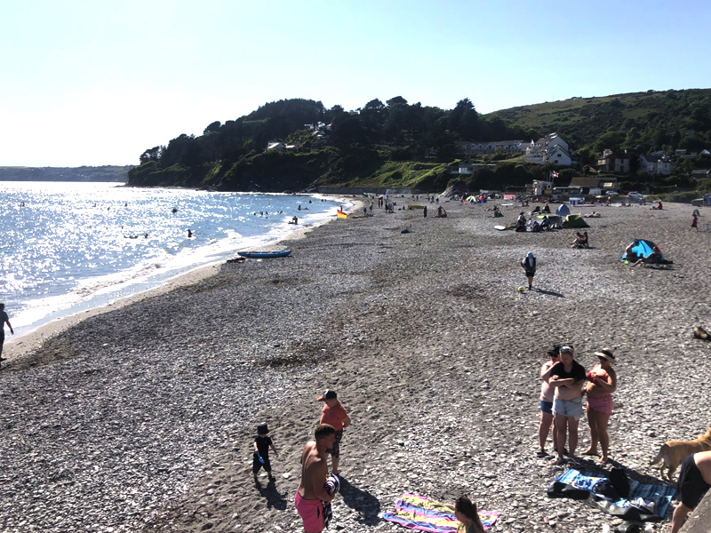
The beach itself is a spacious one, and sources genuinely differ on how best to describe it, which is telling in itself: some describe a broad expanse of grey sand cut through by the river, others a beach where shingle and pebbles predominate, particularly towards the back of the beach and the sea wall. In practice both are true depending on where you stand and the state of the tide - shingle banks up along the top of the beach and around the promenade, while a good, firm width of sand opens up lower down and around the mouth of the River Seaton itself as the tide falls. Flat rocky ledges at each end of the beach hold rock pools worth a look at low water, and at low tide it is possible to walk east along the sand for around a mile to reach Downderry's beach, a popular linking walk between the two villages, though - as at Downderry - the route crosses rocky sections that the incoming tide can cut off, so it pays to check tide times rather than assume the way back will stay open.
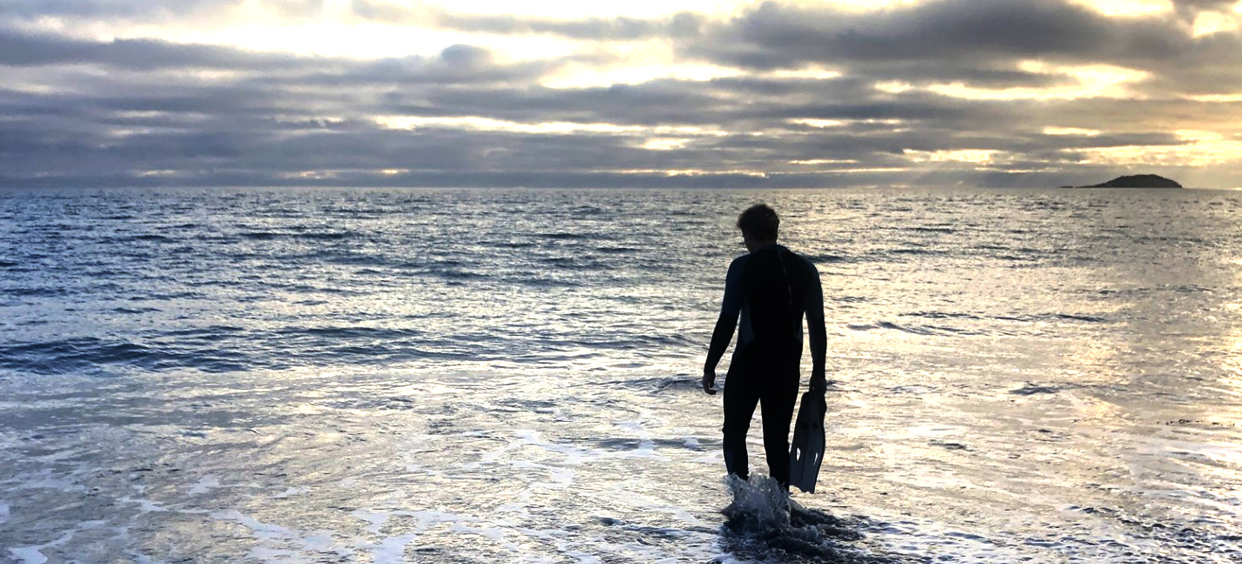
Immediately behind the beach, and bordering the village to the north, lies Seaton Valley Countryside Park - one of only four designated Country Parks in the whole of Cornwall, and a genuinely worthwhile extension to a visit rather than an afterthought. A well-surfaced, largely level nature trail follows the wooded valley of the River Seaton for nearly two miles inland to the neighbouring village of Hessenford, passing through mixed woodland, wetland and open meadow that supports a good range of wildlife - dragonflies and butterflies on the wing in summer, ducks and kingfishers along the river, and dormice and otters present too, if considerably harder to spot. For families or anyone wanting a gentler, shaded walk to round off a day on the beach, it is a rare and useful thing on this part of the coast: a proper, flat, easy-to-follow trail rather than another cliff path.
The river that gives the village its name and its beach its distinctive character has a longer journey than its modest mouth suggests. The River Seaton rises up near Caradon Hill on the southern edge of Bodmin Moor and runs for around eleven miles south through Darite, Menheniot and Hessenford before finally reaching the sea here, its lower reaches straightened into channels at some point in the past to speed drainage through the valley. Historical records give the name as "Seythyn" as far back as 1302, generally translated as "little arrow river", which lines up neatly with the modern Cornish rendering Sethyn - two independent readings of the same idea, separated by seven centuries. One consequence of that long upstream journey is less picturesque: trace pollutants from historical mining activity around Bodmin Moor still turn up in the water, a legacy that has left the river's wildlife somewhat thinner than a valley this attractive might otherwise support, though the countryside park along its banks remains a genuinely rewarding place to walk regardless.
Administratively, Seaton sits within the civil parish of Deviock, a comparatively new creation dating only to April 1997, when it was carved out of the former St Germans parish along with slices of St Martin-by-Looe and Morval. Deviock now stretches across roughly five thousand acres of the River Seaton valley and takes in Downderry, Hessenford and the smaller hamlets of Narkurs and Trelowia alongside Seaton itself, with a combined population a little over 1,400 at the last count. Seaton remains distinctly the smaller of the parish's two coastal settlements - its own electoral ward numbers only a few hundred registered electors against Downderry's several hundred more - which goes some way to explaining why it retains such a low-key, unresorted feel even with a beach, a countryside park and a couple of pubs all within a few minutes' walk of one another.
Seaton's history includes one notable near-miss. In the late 1930s the village was earmarked for a station on the proposed St Germans and Looe Railway, a scheme intended to give this corner of the Rame Peninsula its own direct rail link; the line was never built, and Seaton remains, to this day, a place reached only by road.
Safety signage at Seaton is worth reading properly rather than walking past. Strong undercurrents, large breaking waves and submerged rocks are all specifically flagged, and inflatables - the sort of thing that seems harmless enough loaded into the car - are explicitly not recommended here. RNLI lifeguards patrol the beach through the main season, broadly from mid-May to late September, during set daily hours; outside that window, and outside patrol hours within it, there is no lifeguard cover at all, and the same hazards apply whether or not anyone is watching. The sea wall and promenade behind the beach, useful as a level, higher-tide walking route towards Downderry, carries its own hazard at spring high tides, when waves can break directly against it and over the top of it, so it is not somewhere to linger, sit, or let children play close to the edge when the sea is up. Surfing does happen at Seaton, though conditions are inconsistent rather than reliable - on the right wrap-around swell, bodyboarders and the occasional longboard rider find playable waves here, but it is not a beach anyone would plan a dedicated surf trip around.
None of this takes away from what makes Seaton worth a visit in its own right. Dogs are welcome on the beach all year round, with no seasonal ban to plan around, which is not the case at every beach in this guide. The level access from road to sand - genuinely unusual for this part of Cornwall - makes it one of the easier beaches in the folder for pushchairs, wheelchairs and anyone who would rather not tackle a cliff path just to reach the sea. A cafe and shop, public toilets, a children's play park and outdoor fitness equipment all sit within easy reach of the sand, and two village pubs are a short walk further back. Combined with its position at the western end of this guide, a mile's walk from Downderry at low tide and under four miles from Looe by road, Seaton makes a genuinely practical, family-friendly base for exploring this quieter end of the Rame Peninsula coast.
Visitor Information
Parking
Two Cornwall Council car parks sit right by the beach - Seaton Beach and Seaton Bridge - with a further council car park a short walk inland at Seaton Park, and some limited free roadside parking nearby that fills quickly in summer. Charges apply from 1 April to 31 October, with reduced winter rates, and Blue Badge holders must still display a valid badge.
Facilities
A beachfront cafe and shop, public toilets, a children's play park and outdoor fitness equipment sit right behind the beach, with two village pubs a short walk away. Seaton Valley Countryside Park, bordering the village to the north, adds a flat, mile-long nature trail through woodland and wetland.
Disabled Access
Access from the road to the beach is level, with no steps or cliff path – one of the most accessible beaches on this stretch of coast for wheelchairs and pushchairs. Blue Badge holders must still display a valid badge and pay the standard charge at the council car parks; no dedicated Blue Badge bays are confirmed – check locally before you travel.
Things to Do Nearby
- Walk the sand at low tide to Downderry, about a mile east along the coast, or use the sea wall promenade and coast path as a higher-tide route
- The nature trail through Seaton Valley Countryside Park, running nearly two miles inland to Hessenford through woodland and wetland
- Whitsand Bay, the wider four-mile sweep of sand and cliff running on to the west, with an overview of access points along its length
- RNLI guidance on recognising and escaping rip currents, worth reading before swimming at any Whitsand Bay area beach, lifeguarded or not
Places to Stay
Seaton has no dedicated holiday accommodation listings of its own on this site - like Downderry, it remains primarily a residential village rather than a self-contained resort. The wider Rame Peninsula, of which Seaton forms the westernmost beach covered in this guide, offers the nearest range of places to stay:
Frequently Asked Questions
Page last updated: 15 September 2026.