Downderry
A Village Beach of Sand and Shingle on the Eastern Shore of Whitsand Bay
Downderry, near Looe, Cornwall, PL11 3LD
Downderry is a long-established village beach on the eastern edge of Whitsand Bay in South East Cornwall, a mile or so east of Seaton and a good deal further from the wilder, more exposed western reaches of the bay towards Tregantle and Rame Head. It lies within the civil parish of Deviock, around twelve miles from Plymouth across the Tamar, and though its post town is technically Torpoint, the village is generally grouped, as here, with the beaches of the Rame Peninsula and Whitsand Bay rather than with the Torpoint side of the water. Unlike the cliff-path beaches further along the bay, Downderry's beach of grey sand and shingle sits directly in front of the village, reached by road and a public slipway rather than a scramble down the cliffs, which makes it one of the more straightforwardly accessible spots on this stretch of coast. It has a long-standing reputation as a genuinely local, unhurried beach rather than a resort destination, and that character - a village pub, a handful of cafes, a beach that dogs are welcome on all year, and a coastline still visibly shaped by the sea it faces - is very much its appeal.
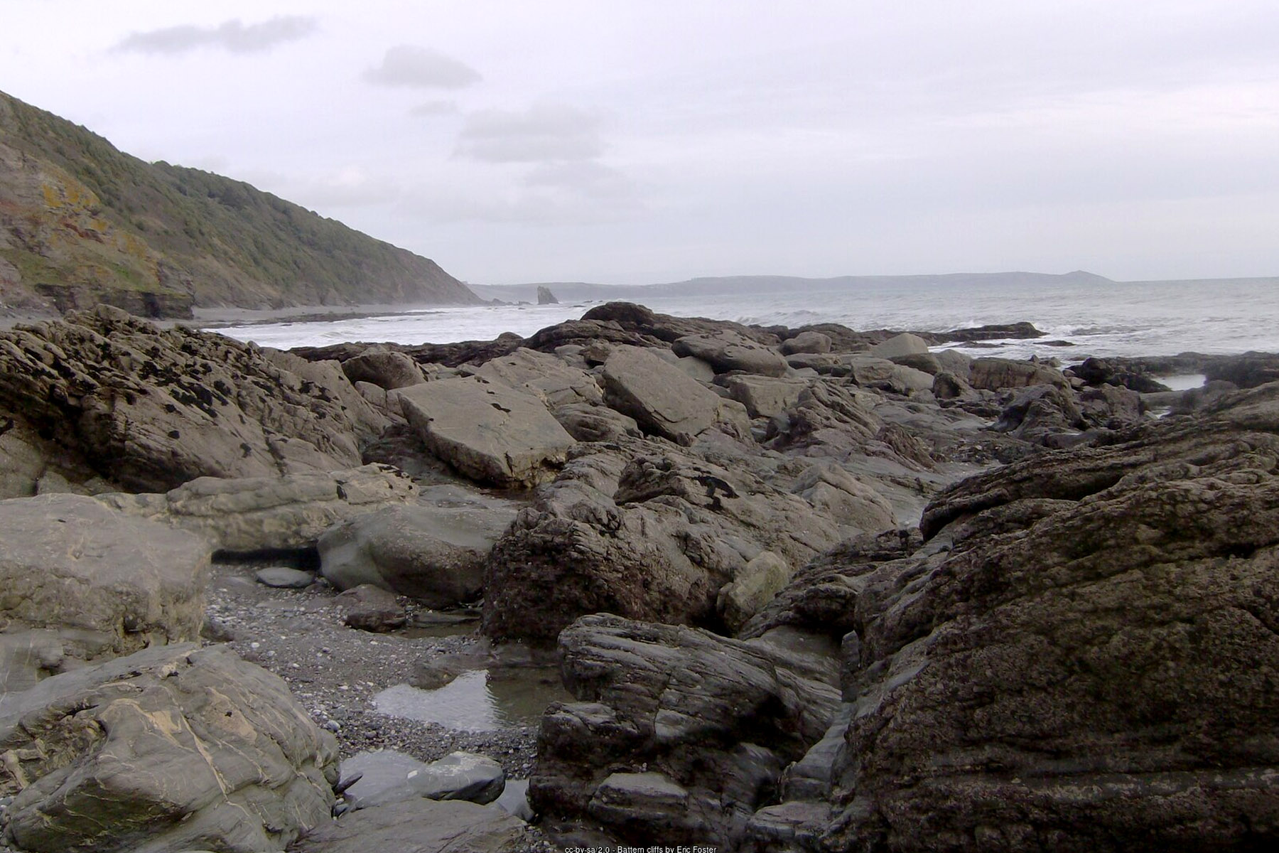
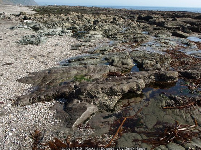
The beach itself runs for a considerable distance along the Downderry shorefront, shingle-dominated at the top of the beach but giving way to a good spread of firm grey sand as the tide falls, with rock pools worth exploring around the lower rocky ledges at low water. At a low enough tide, it is possible to walk west along the shore for the best part of a mile towards Seaton, though the route crosses rocky outcrops that can cut walkers off as the tide turns, so checking tide times before setting out in that direction is genuinely worth doing rather than a formality. At the eastern end of the beach, below Battern Cliffs, the shore becomes steeper and more rock-strewn, reached by a stepped cliff path, and this section has long been used informally as a naturist beach as well as offering a well-regarded set of bouldering and rock-climbing routes on the cliff face above the tideline.
Offshore, a scatter of named rock outcrops gives some sense of how working a beach this has always been for the village above it: Bass Rock is a well-known fishing mark for shore anglers, while Shag Rock takes its name from the shags and cormorants that gather on it to dry their wings after diving for fish, a common sight along this part of the coast. On a clear day the views from the beach are notably good, taking in Looe Island to the west, Rame Head and its ruined medieval chapel to the east, and, further out still, the Eddystone Lighthouse standing some eight miles offshore in the English Channel - a reminder that this coast has always been as much a hazard to shipping as a place to enjoy it from the sand.
That hazard is not merely historical. Close to the slipway, in shallow water around ninety metres offshore, lie the remains of the Gipsy, a 1,447-ton iron sailing ship wrecked at Downderry on 7 December 1901 while carrying a cargo of nitrate from Iquique in Chile to France. She had begun life in 1874 as the British clipper Rodney, built to the same demanding standards as the great tea and wool clippers of the era, and had a genuine claim to fame: in the closely watched wool races of 1889 and 1890, Rodney was one of the very few ships considered a serious rival to the celebrated Cutty Sark, though the two were separate vessels rather than sisters, whatever some retellings suggest. Sold to French owners around 1896 or 1897 and renamed Gipsy, she met her end on Downderry's rocks at the turn of the twentieth century; her wreck, sitting in seven to eight metres of water and now well colonised by kelp, is a popular and accessible site for snorkellers and divers exploring this stretch of the bay today.
Downderry's more recent history is written into the cliffs above the beach as much as the water below it. During the Second World War the village was the site of a Chain Home radar station, part of the coastal early-warning chain that gave Britain crucial advance notice of incoming aircraft during the Battle of Britain and beyond, and the remains of a wartime bunker survive on the east side of the village to this day. Further back still, the fields behind Downderry near Triffle Farm contain the only confirmed example of a prehistoric "cursus" earthwork known in Cornwall - a long, banked ceremonial or processional monument of a type more commonly associated with Wessex and eastern England - underlining that this quiet corner of the Rame Peninsula has been a settled and significant place for a very long time indeed.
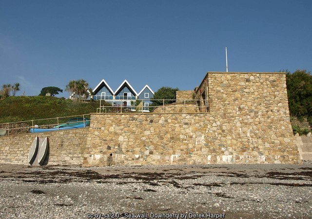
The village frontage is also a genuine working case study in coastal erosion and its management. The cliffs at Downderry are cut into geologically soft, unstable material, and Cornwall's Shoreline Management Plan records an ongoing historical erosion rate here of around half a metre a year, rising to as much as a metre a year in places, which over time has put roads, the coast path and more than sixty residential properties at long-term risk. The response has been layered and, in places, decades old: at Downderry West the frontage is protected by a rock armour revetment and concrete seawall maintained by the council, while at Downderry East a mix of private gabion and masonry walls does the same job for individual properties, including a stepped gabion retaining wall built as long ago as 1971 for the then Caradon District Council to stop a clifftop hotel and neighbouring houses being undermined by wave action - a structure that, more than fifty years on, is still doing its job and has become part of the landscape, now colonised by coastal vegetation. Current coastal management policy is to hold this line at Downderry West for the next two decades or so, with the existing defences expected to have a useful life out to around 2050, while accepting no active intervention at Downderry East; beyond that, official plans anticipate a longer-term shift towards managed retreat, with more than sixty properties and the coast-hugging B3247 road identified as being at potential risk without further investment by 2105 - a candid, engineering-led acknowledgement that a beach shaped this visibly by the sea will keep changing with it.
None of this makes Downderry feel like a fragile or unwelcoming place to visit; if anything, the opposite is true. The village above the beach has a proper sense of community about it, with a pub overlooking the water, a vegetarian and vegan cafe, a tapas bar and coffee shop, a handful of further restaurants, a small parade of shops and a post office, the Victorian Church of St Nicolas and a Methodist chapel, and a village hall that has stood since 1891. Surfing is possible here on a southerly swell, stand-up paddleboarding and snorkelling are popular in calmer conditions, and the eastern cliffs offer a genuinely good, if lesser-known, spot for bouldering and rock climbing above the tideline. Combined with a car park a short walk from the sand, dogs welcome on the beach in every month of the year, and an easy low-tide walk towards Seaton for those who want to stretch the visit further, Downderry earns its long-standing popularity with locals and regular visitors to this quieter end of Whitsand Bay without needing to dress itself up as anything other than what it is: a proper Cornish village with its beach on the doorstep.
Visitor Information
Parking
Broads Yard, the council-run car park on Battern Cliffs Road (PL11 3EF), is about a five-minute walk from the beach and includes disabled parking bays. It is reasonably priced through the season and free to use over winter, with some further, more limited free roadside parking along the lane east of the village.
Facilities
Public toilets with disabled facilities stand near the Broads Yard car park. The village itself has a pub, a tapas bar and coffee shop, a few restaurants, a small parade of shops and a post office, all within easy walking distance of the beach.
Disabled Access
The main beach is reached by slipway with level road access, suitable for wheelchairs and pushchairs; the naturist section beneath Battern Cliffs to the east is reached only by a steep cliff path and is not accessible. Broads Yard car park includes dedicated disabled parking bays.
Things to Do Nearby
- Snorkelling or diving the wreck of the Gipsy (ex-Rodney), lying in shallow water around ninety metres off the Downderry slipway
- Bouldering and rock climbing on the cliffs above Battern Cliffs beach at the eastern end of Downderry
- Portwrinkle, a small beach and former fishing hamlet further along Whitsand Bay to the west
- Whitsand Bay, the wider four-mile sweep of sand and cliff running on towards Rame Head, with an overview of access points along its length
- Seaton Valley Countryside Park, a riverside and woodland country park a short walk or drive west at neighbouring Seaton
- RNLI guidance on recognising and escaping rip currents, worth reading before swimming at any unpatrolled Whitsand Bay beach
Places to Stay
Downderry has no dedicated holiday accommodation listings of its own on this site - it remains, first and foremost, a residential village rather than a self-contained resort. The wider Rame Peninsula, of which Downderry forms the eastern gateway on Whitsand Bay, offers the nearest range of places to stay:
Frequently Asked Questions
Page last updated: 15 September 2026.