Hayle Towans
Dunes, Estuary Views and a Buried Industrial Past
Hayle Towans, Hayle, Cornwall, TR27 5AF
Hayle Towans is the southernmost named stretch of the great dune-backed beach that runs almost unbroken for three miles around St Ives Bay, from the mouth of the Hayle Estuary in the south to Godrevy Point in the north. It sits closest of all the Towans to the town of Hayle itself, immediately north of the river mouth and the harbour, and forms the first, most accessible section that most visitors staying in or near the town reach first. At low tide the sand here merges seamlessly with its neighbours - Harveys Towans, Mexico Towans, Upton Towans and, further on, Gwithian - into one broad, level expanse of pale gold sand backed by a rolling wall of dunes, some rising more than 50 metres above the beach. It's a beach of two very different characters: a busy, well-served stretch close to the car parks and holiday parks nearest the town, opening out into much quieter, wilder dune country the further north you walk.
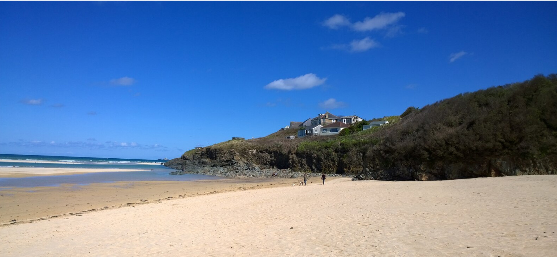
The name comes from the Cornish word tewyn, meaning sand dune, and "The Towans" is the collective name Ordnance Survey maps give to this whole dune system, broken down into eight named sections running from Lelant Towans in the south-west, across the estuary mouth, round through Hayle Towans, Riviere Towans, Mexico Towans, Common Towans, Phillack Towans and Upton Towans, to Gwithian Towans in the north-east. Much of the dune land behind Hayle Towans and its neighbours is protected as part of the Gwithian to Mexico Towans Site of Special Scientific Interest, recognised for both its geology and its wildlife, and the wider system includes two further Local Nature Reserves - at Upton Towans and Gwithian Towans - where fixed and semi-fixed dune grassland supports skylarks, adders, pyramidal orchids, glow worms and the silver-studded blue butterfly. Hayle Towans itself, as the most developed and most visited section, sees a busier mix of car parks, caravan and holiday parks and beach access paths than those quieter reserves further along, but the same dune grassland and marram-stabilised slopes run right through it.
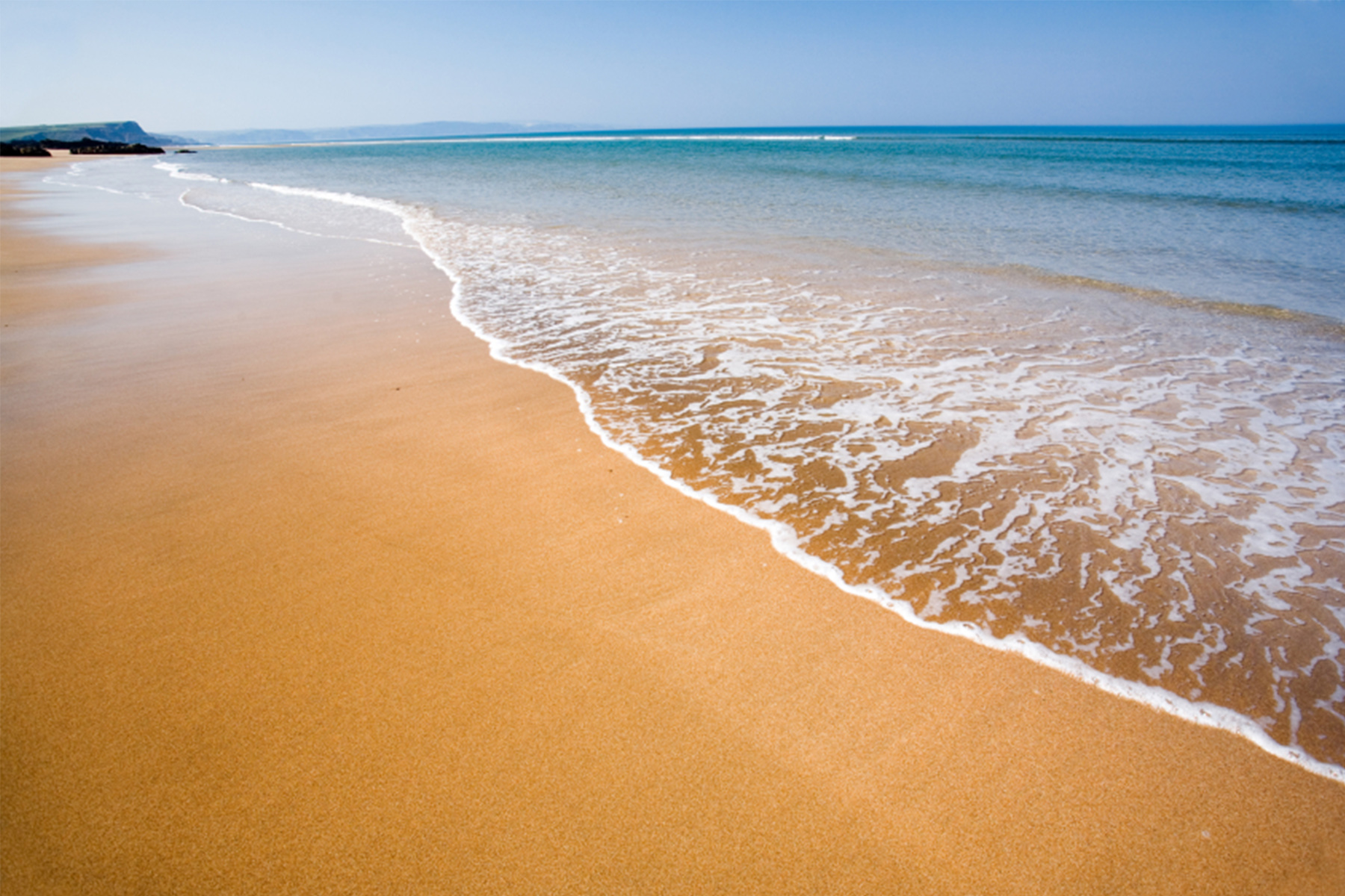
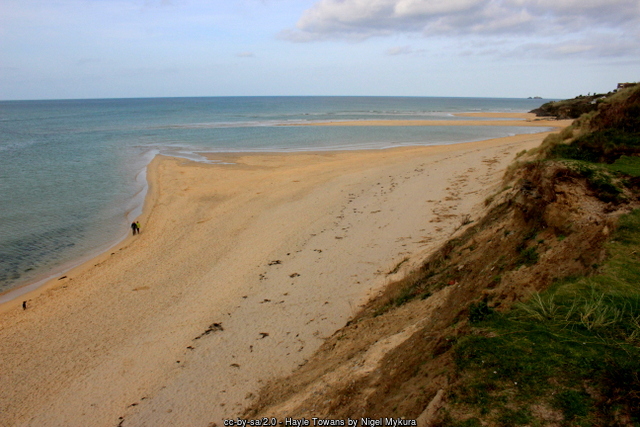 The dunes themselves are a relatively young and still-active landscape, built up from wind-blown sand over the last few thousand years and remaining vulnerable to storms and to the sea today. Coastal monitoring around Harveys Towans and Hayle Towans has recorded active erosion at the dune toe and a marked loss of dune habitat over the past two decades, with long-term shoreline models predicting further retreat here through the rest of the century. Cornwall's Shoreline Management Plan treats this stretch as one for "managed realignment" rather than hard engineering, aiming to let the dune system respond naturally to the sea while still protecting the caravan parks, car parks and access paths built into it - a balancing act visible in the marram grass planting and boardwalked paths used to hold the frontal dunes together in the most heavily used areas.
What makes Hayle Towans unusual among Cornwall's beaches is the industrial history buried beneath its northern end. From 1910 until the end of 1973, a coal-fired power station stood on the dunes here, right beside the mouth of the River Hayle, built by the Cornwall Electric Power Company and generating power for more than sixty years - reaching a peak output of over 70,000 kilowatts by the late 1950s, sizeable for a station of its era and location. Construction began in 1910 and the station started generating that December; by the time it closed at the end of 1973 it had long outlived most of its original contemporaries. Its twin chimneys came down in June 1981, with the turbine hall and boiler house following that December, and the site was cleared under the terms of an agreement dating back to before it was even built. Almost nothing of the station itself survives today, but the overhead electricity transmission lines that once carried its power away still cross the dunes here, one of the few visible threads connecting the quiet beach of today to its working past. It's worth remembering, walking the sand or the dune paths, that this was a working industrial site within living memory - alongside the tin, copper and lead workings, and the National Explosives Works further along the Towans towards Upton, that once dotted this whole stretch of coast.
Today that history has receded almost entirely into the landscape, and Hayle Towans is best known simply as a big, family-friendly, dog-friendly (in season) sandy beach with easy access from the town. Static and holiday caravan parks occupy much of the flatter ground in the dunes immediately behind the beach - a long-established and well-known feature of this stretch of the Towans, giving generations of self-catering holidaymakers direct or near-direct beach access without a long walk from the car. The beach itself is popular with families for its sheer size and gently shelving sand, with surfers and bodyboarders drawn to its exposed, north-west-facing swell (autumn and winter tend to produce the more consistent waves), and, on breezy days, with kite buggy and sand yacht enthusiasts who make the most of the flat, open sand at low tide when the beach connects continuously with its neighbours for well over a mile.
The Hayle Estuary itself, forming the beach's southern boundary, is a nationally important site for wading birds and wildfowl, protected as part of the wider Hayle Estuary and Carrack Gladden Site of Special Scientific Interest and watched over by an RSPB reserve on its inner shore. Redshank, curlew, oystercatcher, little egret and a regular scatter of scarcer migrants use the mudflats at low tide, and the estuary mouth, channel and harbour entrance are worth a look from the beach even for visitors with no particular interest in birds - it's a genuinely different, more sheltered landscape from the open Atlantic sand just a short walk north. That estuary channel is also one of the beach's main hazards: currents can run strongly around the harbour entrance and river mouth, especially on a big ebb tide, and swimmers are advised to stay well clear of the channel itself and to keep to the patrolled, lifeguarded section of open beach instead.
Rock and shingle patches towards Black Cliff, at the northern end of Hayle Towans proper, offer a modest change of scene from the otherwise unbroken sand, with a few rock pools exposed at low tide, though this is a much smaller-scale rockpooling spot than the slate ledges further round the bay at Godrevy or Navax Point. Most visitors come for the sand itself, and there's a great deal of it: at low water the exposed beach here is wide enough to swallow a full day's holiday activity without ever feeling crowded, even close to the main car parks, and the walk north towards Mexico Towans and beyond quickly leaves the crowds behind altogether.
Tidal range matters more here than on some of Cornwall's more sheltered coves - at low tide, Hayle Towans presents a vast, firm expanse of sand ideal for long walks, kite flying and beach games, while a big spring high tide can push the water most of the way up to the frontal dunes, narrowing the usable beach considerably and, on the biggest tides, cutting off the direct low-level route around towards the harbour and town. It's worth checking tide times before setting off on a long beach walk in either direction, and building in enough time to get back before the tide turns. The beach's exposed, west-facing aspect also means it catches the wind more than some of the more sheltered north-coast coves - good news for the kitesurfers, windsurfers and land-yacht sailors who use it regularly, less good if you're after a still, sheltered picnic spot, for which the dune hollows just behind the frontal ridge tend to serve better.
The South West Coast Path runs along the top of the dunes behind the beach, linking Hayle Towans north towards Gwithian and Godrevy and south around Hayle Harbour towards Lelant, Carbis Bay and St Ives on the opposite side of the estuary - a good, mostly flat, easy stretch of the path for those wanting a longer coastal walk without serious climbs. Hayle town itself, a short walk or drive south, adds Georgian and Victorian streets built on the wealth of the old Harvey's and Cornish Copper Company foundries, along with shops, pubs and a supermarket, making Hayle Towans a genuinely convenient beach to combine with a proper town visit rather than requiring a dedicated drive out to the coast.
Visitor Information
Parking
Pay-and-display parking at The Towans main car park (TR27 5AF) and at Harveys Towans (TR27 5AS), plus further parking within some of the holiday parks. Spaces can fill up and visitors have reported being turned away on the busiest summer days, so arrive early in high season.
Facilities
Public toilets near the main car park, a beachside cafe and a pub close to the dunes, with a wider choice of shops, pubs and restaurants a short walk or drive away in Hayle town.
Disabled Access
A wheelchair and pushchair-friendly ramp runs from near the main car park and lifeguard station onto the sand, though other dune paths further along are steeper and softer underfoot. No dedicated Blue Badge bays are confirmed at the main car park - check with Cornwall Council or the car park operator before you travel.
Things to Do Nearby
- Paradise Park, wildlife sanctuary and JungleBarn play centre, Trelissick Road, Hayle
- Cornwall's Mineral Tramways, traffic-free walking and cycling trails linking Hayle, Portreath and Devoran
- RSPB Hayle Estuary Nature Reserve, overlooking the mudflats immediately south of the beach
- Hayle Harbour and the South West Coast Path, a short walk south towards the town
- Mexico Towans, the next section of beach heading north around St Ives Bay
Places to Stay
Frequently Asked Questions
Page last updated: 9 September 2026.